المساحة الأرضية
أعمال مساحة أرضية من مكتب مساحة معتمد: الرفع المساحي والطبوغرافي وتوقيع المحاور ولوحات الملكية بأجهزة توتال ستيشن وGPS/GNSS
الأجهزة التي ننفّذ بها هذه الخدمات
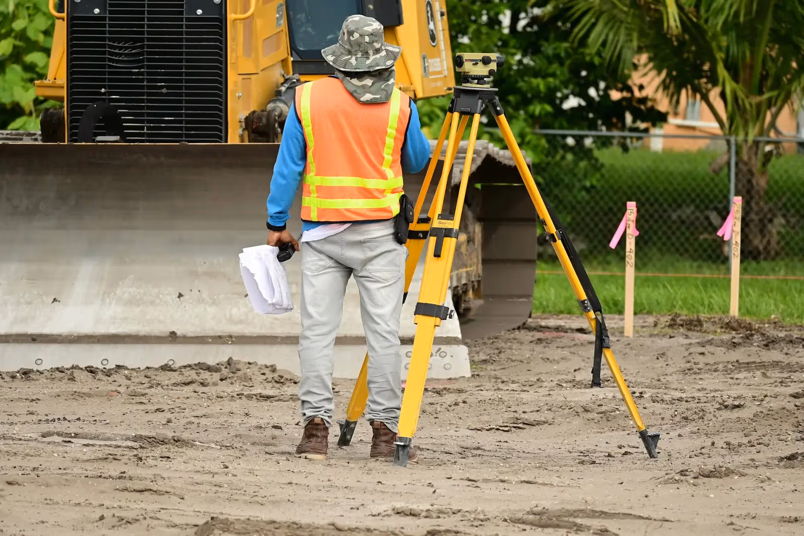
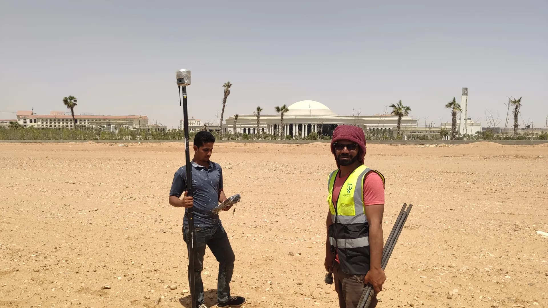
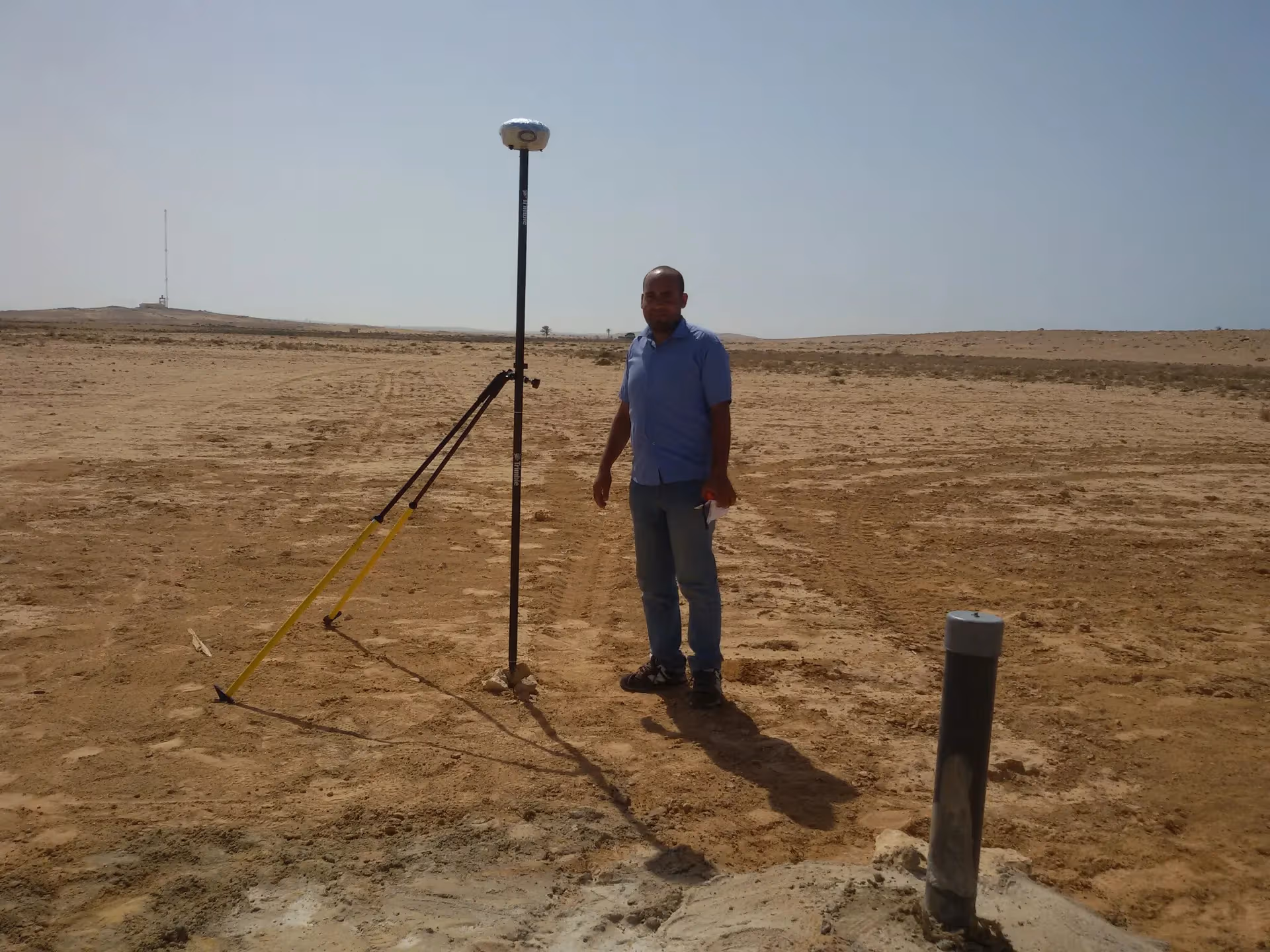
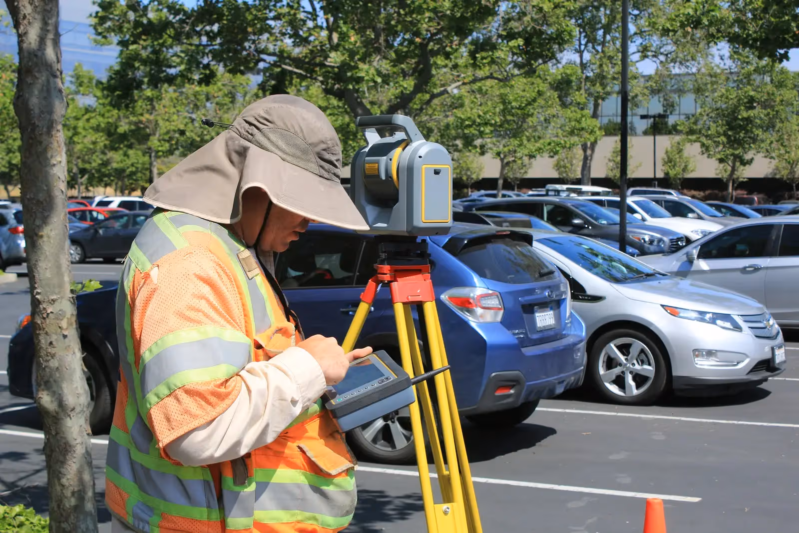
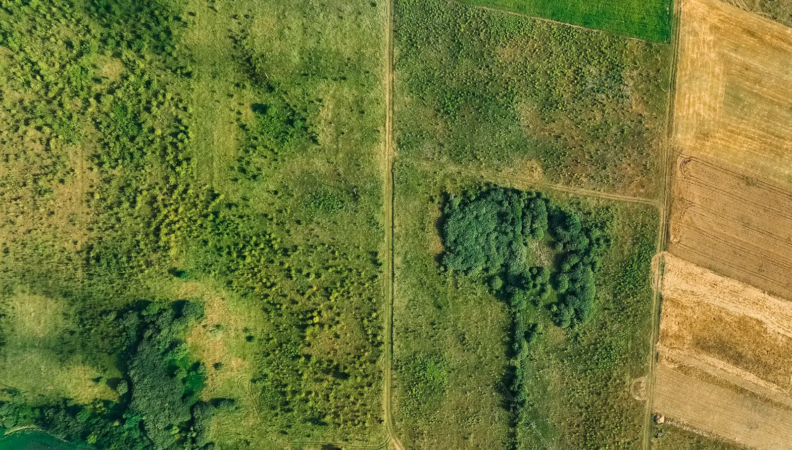
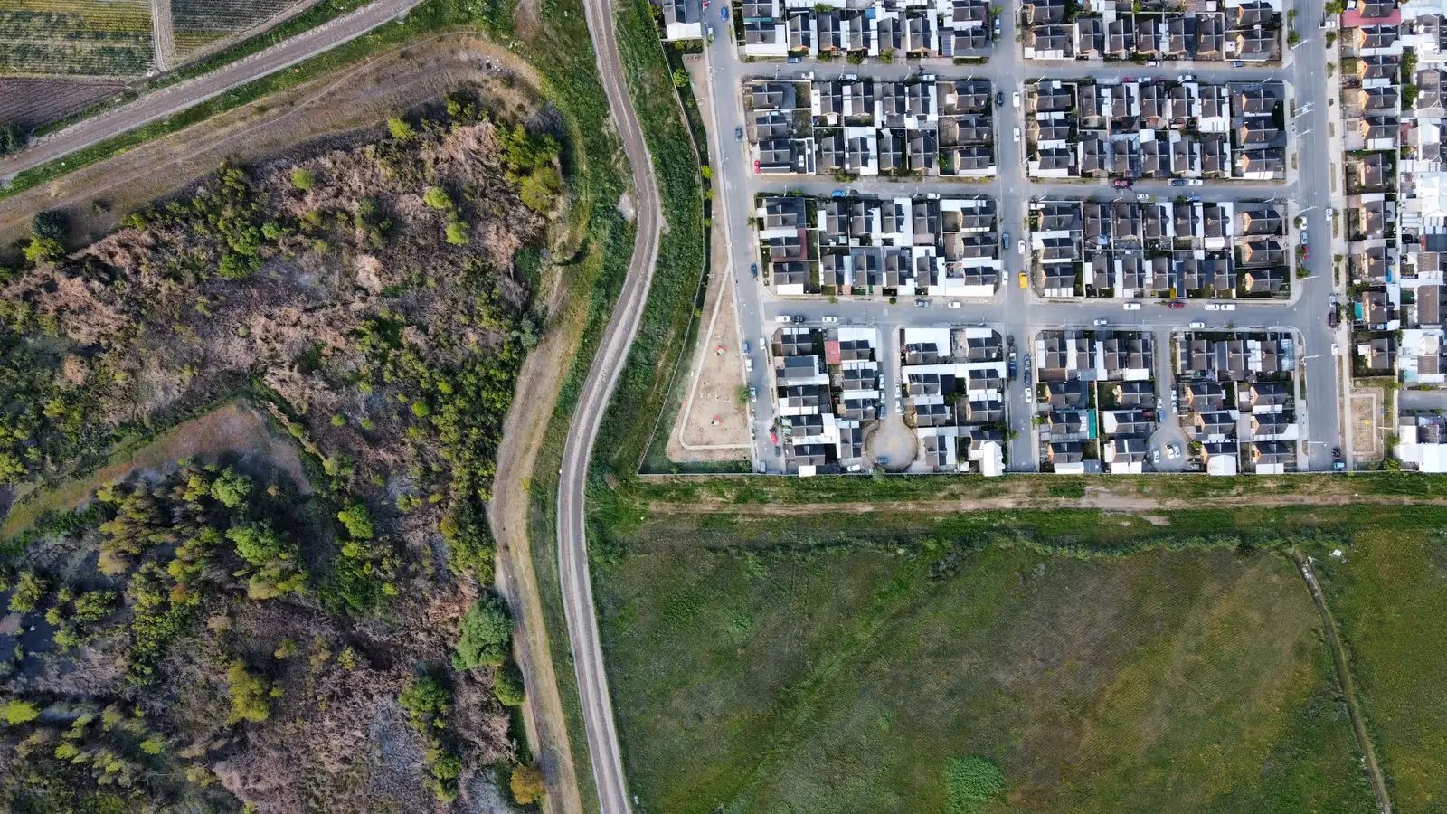
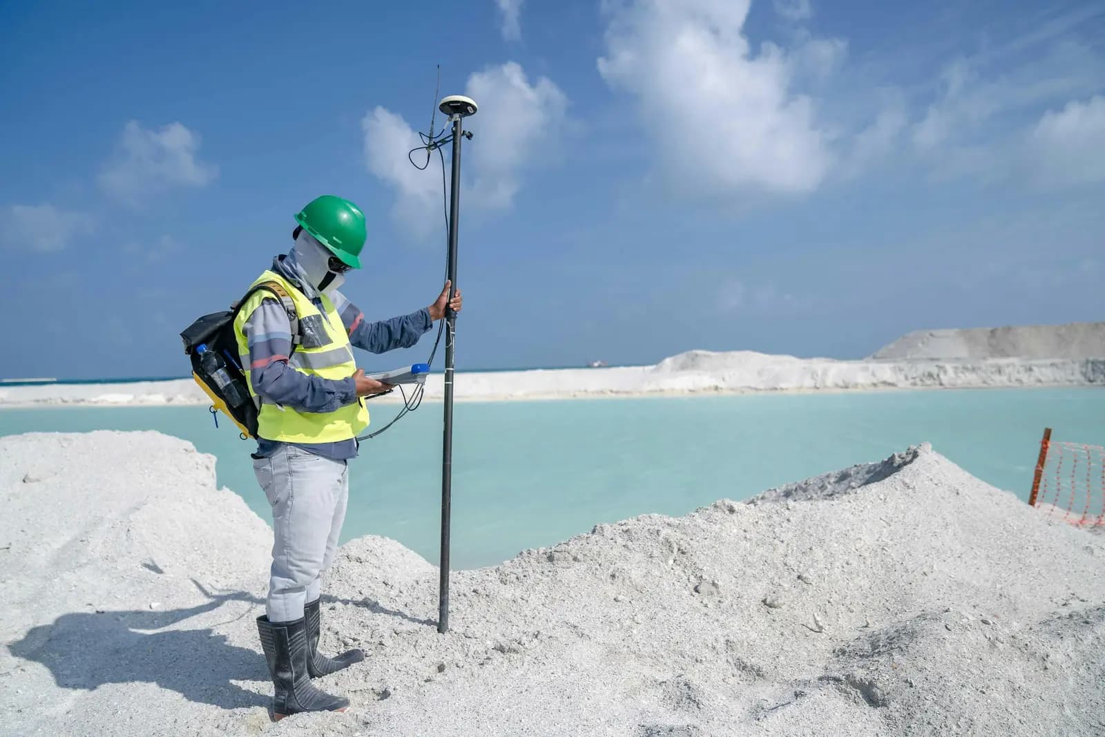
 من ميداننا
المحطات الشاملة (توتال ستيشن)
أجهزة مساحة لقياس دقيق للزوايا والمسافات: شبكات الإحداثيات والتوقيع المساحي والمخططات التنفيذية.
مثل Leica TS16 وViva TS وسلسلة Topcon ES
 من ميداننا
أجهزة GPS / GNSS / RTK
أجهزة مساحة لتحديد المواقع بدقة سنتيمترية عبر الأقمار (GPS/RTK) لأعمال الإحداثيات والطبوغرافيا والمساحة العقارية.
مثل Trimble R10/R8 وTopcon Hiper V وLeica GS18

أجهزة الميزانية
أجهزة ميزانية أوتوماتيكية ورقمية لشبكات المناسيب والنقاط المرجعية بدقة عالية.
أجهزة ميزانية أوتوماتيكية ورقمية
حجم حقيقي وسجل مُثبَت
فريق نخبة وأسطول مملوك ينفّذان أضخم مشاريع المساحة في مصر والمنطقة.
- +2,500 عميل
- +2,500عميل
- +3000 مشروع منجز
- +3000مشروع منجز
- 90 جهاز مساحي مملوك
- 90جهاز مساحي مملوك
- نخبة مهندسون ومساحون
- نخبةمهندسون ومساحون
سجلنا حسب القطاع
رفع وتصميم وإشراف
ميزانيات شبكية
مسارات وتوقيع مساحي
ضغط عالٍ ومتوسط
مخططات لمدن بأكملها
رفع وتوقيع مساحي
مشاركة في أضخم المشاريع
رفع وتنفيذ مساحي
فرقنا أثناء العمل الفعلي
صور حقيقية من مشاريع GeoGiza الميدانية عبر مصر والمنطقة.