One team for surveying, geomatics, and software.
GeoGiza is your engineering partner across MENA. We integrate three pillars under one contract — nothing falls between vendors.
From the field to the full loop
Our evolution
- The start
A field surveying firm
We began as a traditional surveying company: topographic capture, control networks, and layout for contractors and consultants across Egypt.
- Fleet growth
An owned fleet past 90 instruments
Total stations, GNSS/RTK, levels, drones, laser scanners and sonar — full ownership means readiness with no rental queue.
- Infrastructure
3000+ km of roads & utilities
A field record across highways, railways, power lines, and agricultural leveling throughout Egypt.
- Regional reach
Egypt + the Gulf
An engineering back office serving Saudi Arabia and the Gulf: remote CAD and GIS production to regional standards.
- Closing the loop
The geospatial software pillar
We brought software development in-house — GIS dashboards, field apps, BIM/CAD integrations — so nothing falls between vendors.
One contract. One accountability.
The three pillars

Surveying
Land, drone, and hydrographic surveying on a fully-owned fleet.

Geomatics & CAD
Shop drawings, as-builts, point-cloud processing, GIS, and BIM.

Geospatial software
GIS dashboards, field apps, BIM/CAD integrations — client-owned, end to end.
Our story
We started as a traditional surveying firm, but with every project we saw the gap between fieldwork and the software that processes the data. A client paid one firm to collect, another to convert it to a dashboard — result: delay, errors, finger-pointing.
We closed that loop in-house. Today we deliver surveying, geomatics, and geospatial software as one team, one contract, one accountability.
The three pillars
- Surveying: Land, drone, and hydrographic — total stations, GNSS, multibeam.
- Geomatics & CAD: Shop drawings, As-Built, point cloud processing, GIS, BIM modeling.
- Geospatial software development: GIS dashboards, field apps, drone pipelines, BIM/CAD integrations.
How we work
Technical QA at every stage. Editable standard file formats (DWG, DXF, IFC, COG). On-time delivery, follow-through to final approval. Full client ownership of code and data.
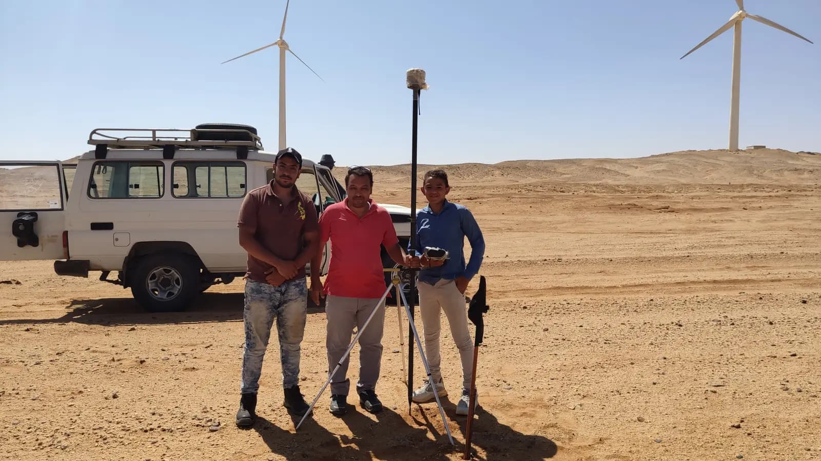
Our crews on real projects
Real photographs from GeoGiza's field projects across Egypt and the region.