World-class field surveying
An elite team and an owned instrument fleet delivering topographic, aerial, and hydrographic surveys to centimeter accuracy across Egypt and the region.
Three surveying capabilities under one roof

An owned fleet of 90+ instruments
We own and operate our field hardware in-house across every surveying class.
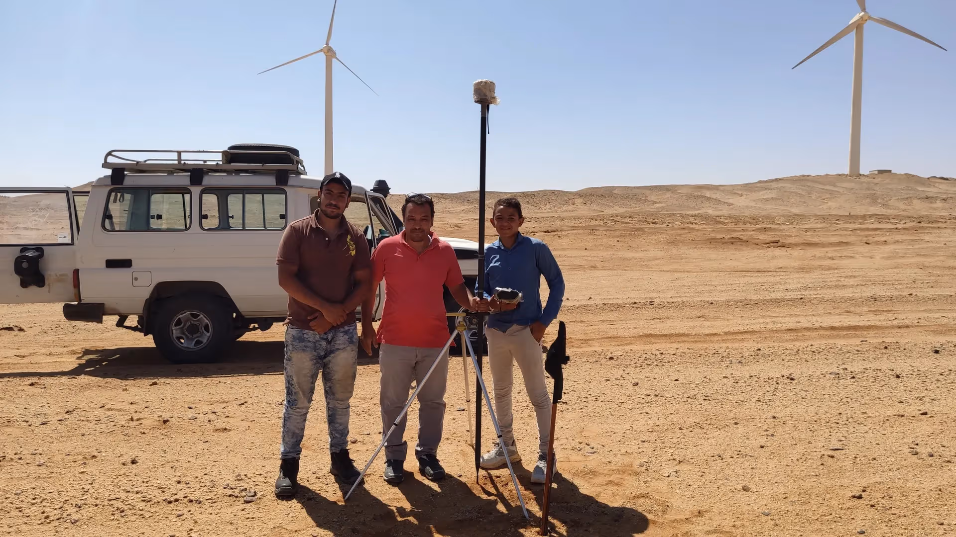
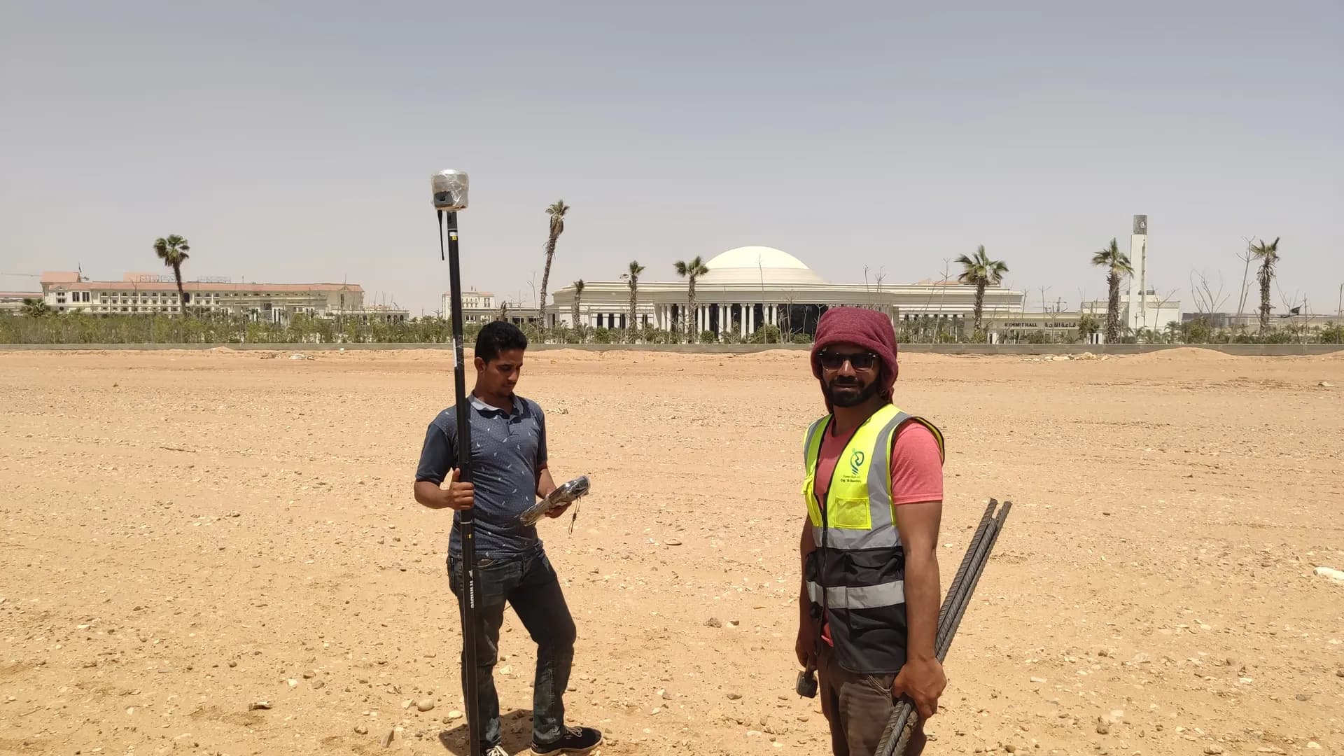
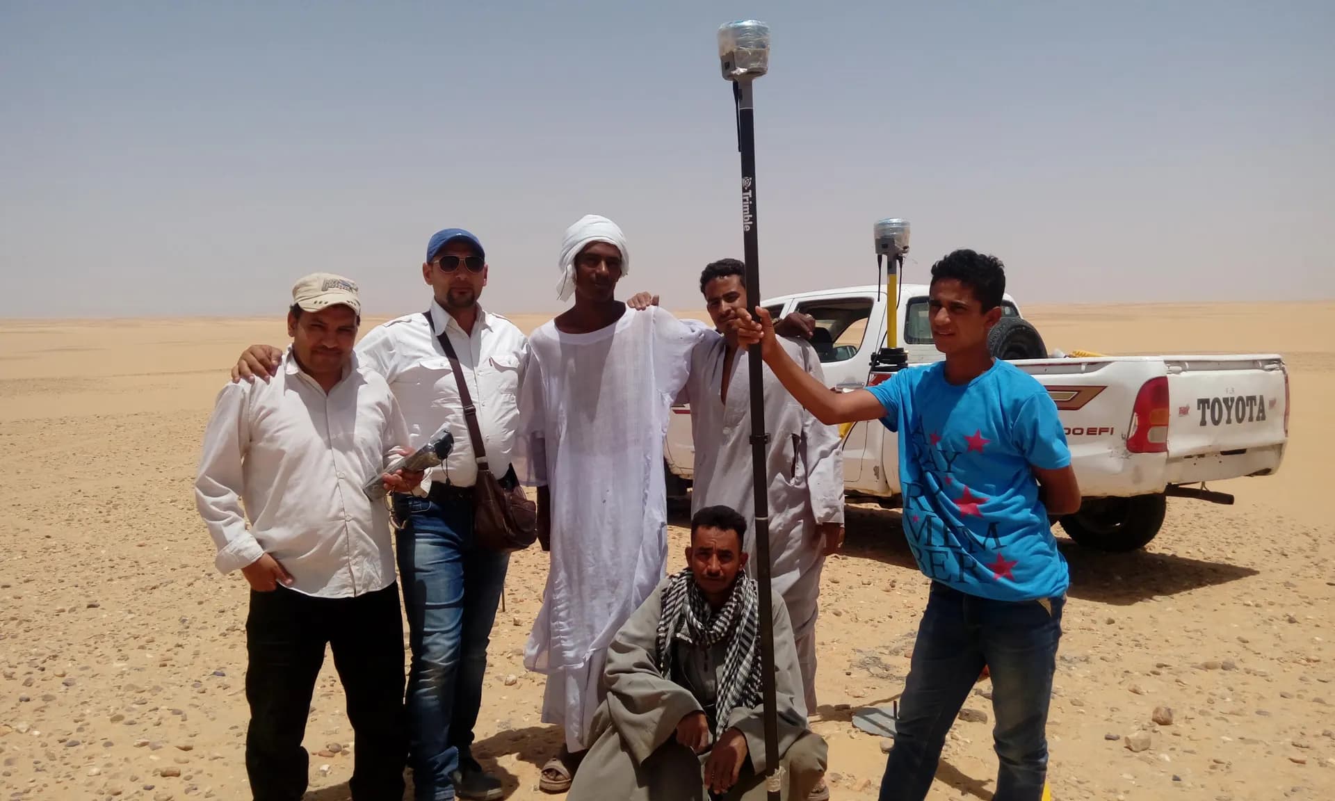
 From our field work
Total stations
Survey instruments for precise angle and distance measurement — control networks, layout, and as-builts.
such as Leica TS16, Viva TS, Topcon ES-series
 From our field work
GPS / GNSS / RTK receivers
Survey-grade GPS receivers for centimeter-accurate satellite positioning (RTK) — control, topographic, and cadastral work.
such as Trimble R10/R8, Topcon Hiper V, Leica GS18

Laser scanners
Terrestrial 3D laser scanning that captures dense point clouds for scan-to-BIM and as-builts.
such as Leica RTC360, FARO Focus

Survey drones
UAV photogrammetry and LiDAR for orthomosaics, topographic mapping, and asset inspection.
such as DJI Matrice 300 RTK, Phantom 4

Levels
Automatic and digital levels for high-precision elevation and benchmark networks.
automatic & digital levels
 From our field work
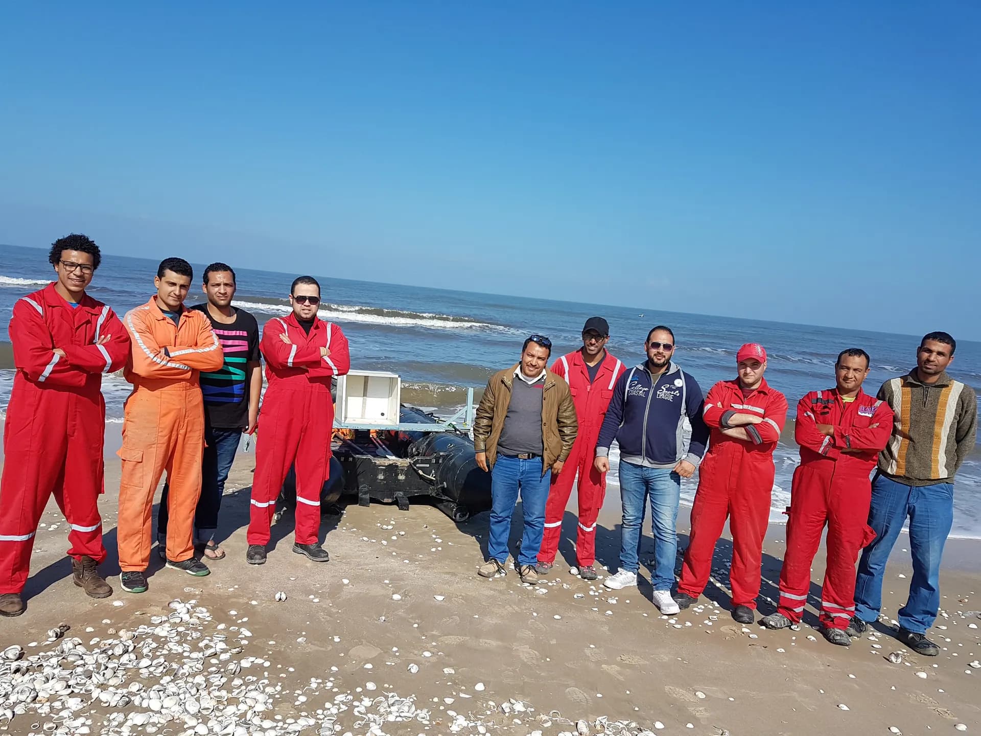
Sonar & hydrographic
Single-beam echo sounders and survey vessels for bathymetric and hydrographic surveys.
single-beam echo sounders
 From our field work
Field accessories
Tripods, prisms, range poles, controllers, and field radios that keep crews productive.
tripods · prisms · range poles · controllers · radios
We own and operate our entire field fleet — shots from our own sites carry the “From our field work” chip, alongside class-reference photos.
Real scale, a proven record
An elite team and an owned fleet delivering the region's largest surveying programs.
- 2,500+ Clients
- 2,500+Clients
- 3000+ Projects delivered
- 3000+Projects delivered
- 90 Owned instruments
- 90Owned instruments
- Elite Engineers & surveyors
- EliteEngineers & surveyors
Our record by sector
survey, design & supervision
network leveling surveys
alignment & layout
high & medium voltage
master layout for entire cities
survey & layout
participation in landmark works
survey & execution
Our crews in the field
Real moments from our project sites across Egypt and the Arab world.


