
Surveying
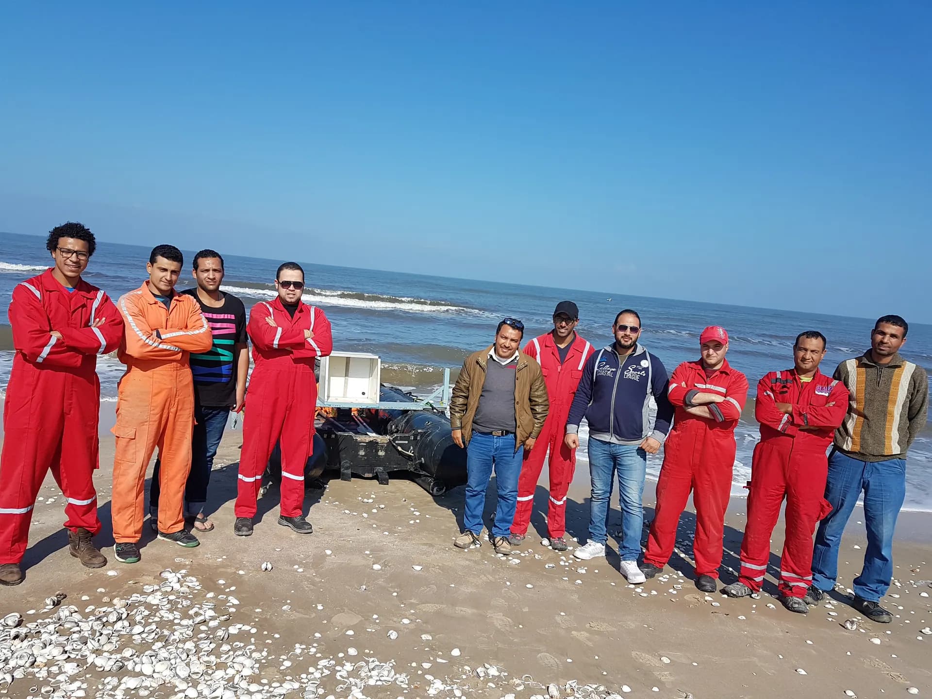
Hydrographic Surveying
Bathymetric surveys, nautical charts, underwater pipeline inspection
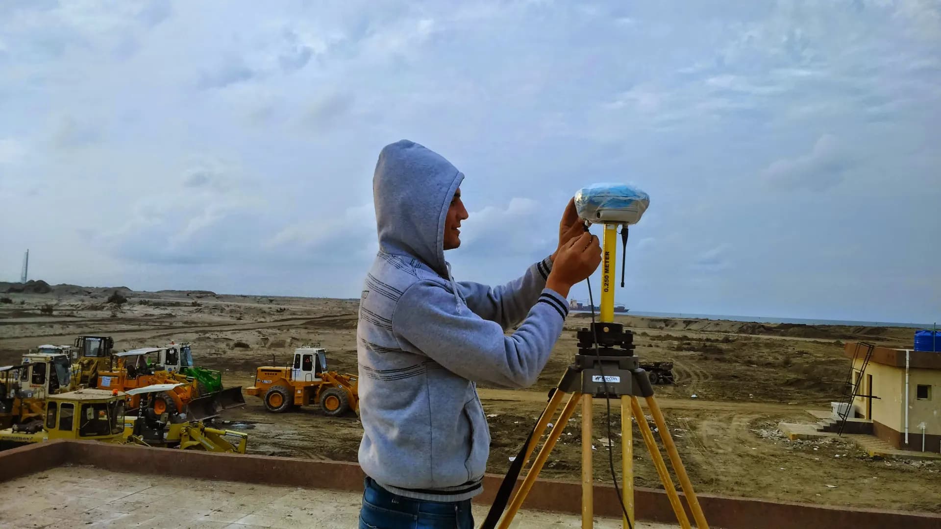
Equipment & methodology
The instruments behind this work
 From our field work
Sonar & hydrographic
Single-beam echo sounders and survey vessels for bathymetric and hydrographic surveys.
single-beam echo sounders
Surveying — track record
Real scale, a proven record
An elite team and an owned fleet delivering the region's largest surveying programs.
- 2,500+ Clients
- 2,500+Clients
- 3000+ Projects delivered
- 3000+Projects delivered
- 90 Owned instruments
- 90Owned instruments
- Elite Engineers & surveyors
- EliteEngineers & surveyors
Our record by sector
3000+
km of roads
survey, design & supervision
800,000+
feddans
network leveling surveys
600+
km of railways
alignment & layout
300+
km of power lines
high & medium voltage
Full-city survey & layout
master layout for entire cities
Egypt's largest power plants
survey & layout
Major Egyptian ports
participation in landmark works
Sewage & water networks
survey & execution
From the field
Our crews on real projects
Real photographs from GeoGiza's field projects across Egypt and the region.
Explore more