Loading…
Visual + sonar inspection of marine / river pipelines
Marine and river pipelines suffer corrosion, exposure, and damage unseen from the surface. Sonar + visual inspection reveals the line's condition and risk points before a costly leak.
Oil and gas companies, water and wastewater utilities, and port authorities operating underwater lines.
Locate the line precisely with sonar
Sonar survey and visual capture via diver/ROV
Analyze corrosion, exposure, and damage
Compile a condition report with recommendations
From our owned 90+ instrument fleet, we deploy the following on this service:

Single-beam echo sounders and survey vessels for bathymetric and hydrographic surveys.
We own and operate our field fleet — our site shots carry the “From our field work” chip, alongside class-reference photos.
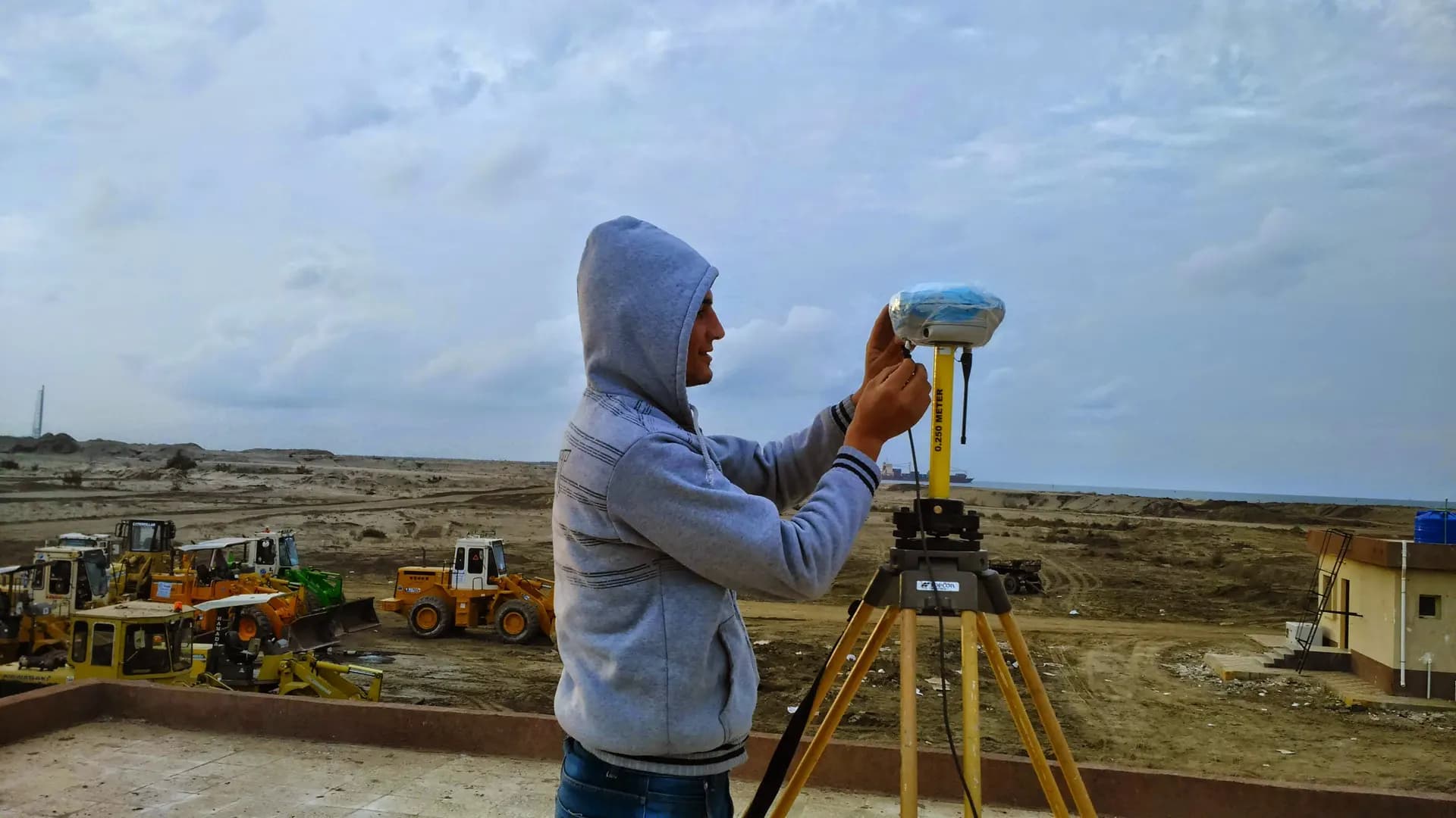
We use side-scan sonar and a pipe tracker with GNSS positioning to map the as-found route accurately.
Yes, we inspect lines in both marine and river environments depending on site conditions.
Real photographs from GeoGiza's field projects across Egypt and the region.
We take the risk off your project — so you can commit with confidence.
If a deliverable misses the agreed accuracy spec, we re-survey and correct it at no extra cost.
We agree the delivery schedule up front and keep you updated at every stage until it's met.
Every engagement is covered by an NDA. Your data and drawings are never shared.
You receive the editable source files (DWG, DXF and more) — full ownership, no lock-in.