Loading…
Visual + thermal inspection of towers, tanks, façades, and elevated assets
Inspecting towers, power lines, and tanks by hand is slow, risky, and forces shutdowns. UAVs reach high and hazardous spots and capture visual + thermal imagery without taking assets offline.
Power and energy companies, transmission-line operators, tank and industrial-facility owners, and maintenance teams.
Plan the inspection route and capture points
Fly and capture visual + thermal imagery
Analyze imagery and flag defects
Compile an inspection report with recommendations
From our owned 90+ instrument fleet, we deploy the following on this service:

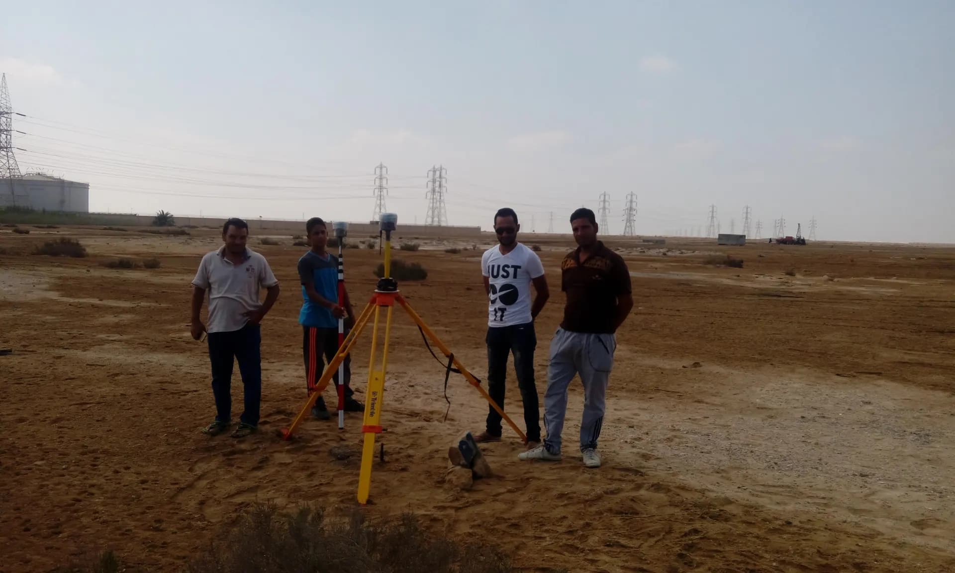
UAV photogrammetry and LiDAR for orthomosaics, topographic mapping, and asset inspection.
We own and operate our field fleet — our site shots carry the “From our field work” chip, alongside class-reference photos.
No. Inspection is performed during operation in most cases, saving downtime and its costs.
It reveals hot spots from loose connections, overloads, or corrosion before they become failures.
Real photographs from GeoGiza's field projects across Egypt and the region.
We take the risk off your project — so you can commit with confidence.
If a deliverable misses the agreed accuracy spec, we re-survey and correct it at no extra cost.
We agree the delivery schedule up front and keep you updated at every stage until it's met.
Every engagement is covered by an NDA. Your data and drawings are never shared.
You receive the editable source files (DWG, DXF and more) — full ownership, no lock-in.