

Loading…
Automated pipelines that ingest raw drone imagery and produce orthomosaics, DTM/DSM, and 3D point clouds as streamable COG. Integrates with OpenDroneMap, Pix4D, OdaSurveyAir.
Every drone flight turns into hours of manual processing: importing images, running photogrammetry, exporting, renaming, uploading — with human error each time and outputs in formats unfit for the web. An automated pipeline turns a flight into view-ready products within hours, not days, at the same standards every time.
Surveying and inspection firms, drone-fleet operators, and geospatial data teams that process recurring flights and need standardized, fast, web-streamable outputs.
Analyze current flights, required outputs, and quality standards
Build the pipeline: ingest, processing, COG/MBTiles export
Test on real flights and tune acceptance criteria
Deploy to the cloud with a monitoring dashboard and team training
It depends on scope: the number of outputs required (orthomosaic only, or DTM, contours, and 3D points as well), monthly flight volume, and the runtime environment (cloud or private servers). Typical projects fit in the 4–8 week range. We start with a free audit of a real flight from your data, then send a detailed quote; the final price depends on scope.
Yes — we build on open-source OpenDroneMap or integrate with your licensed Pix4D, and deliver outputs in standard formats (COG, MBTiles, GeoPackage) readable directly in QGIS, ArcGIS, and any web viewer — so you are never locked into a closed tool.
Your team — that is the point. We deliver a monitoring dashboard, a simple CLI, and hands-on training, plus a post-launch support window. For those who prefer managed operations we offer a monthly run-and-monitor contract.
Either — the pipeline is containerized with Docker and runs on AWS/Azure or on an in-house server with a suitable GPU. Photogrammetric processing benefits from a strong GPU, and we define the minimum specs after measuring your typical flights during discovery.
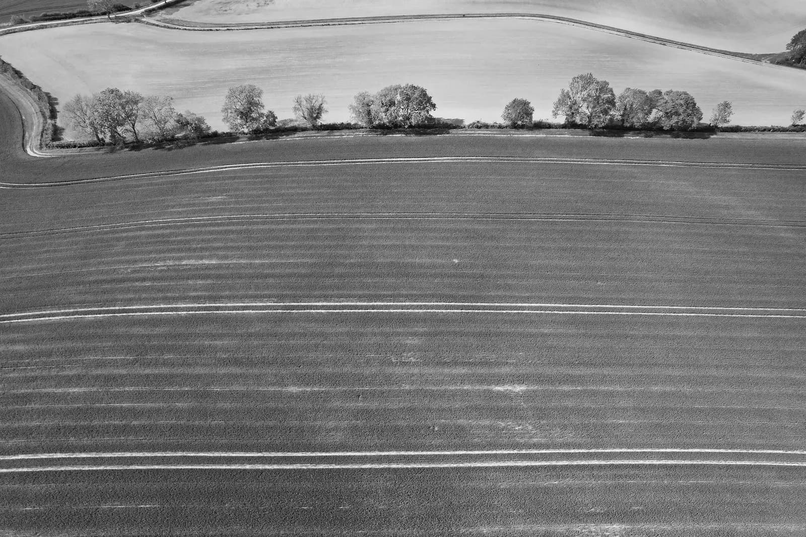
Real photographs from GeoGiza's field projects across Egypt and the region.
We take the risk off your project — so you can commit with confidence.
If a deliverable misses the agreed accuracy spec, we re-survey and correct it at no extra cost.
We agree the delivery schedule up front and keep you updated at every stage until it's met.
Every engagement is covered by an NDA. Your data and drawings are never shared.
You receive the editable source files (DWG, DXF and more) — full ownership, no lock-in.