Loading…
React Native/Capacitor apps that work offline — in-field data capture, photo annotation, high-precision GPS, sync on reconnect. Built with deep knowledge of field-crew workflows.
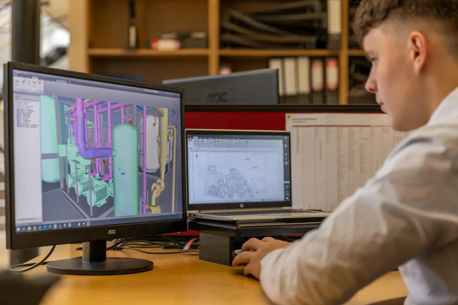
Capturing field data on paper or Excel wastes time, breeds errors and data loss, and collapses where there is no connectivity. We build an offline-first app that captures and syncs on reconnect.
Surveying firms, field-ops teams, and organizations that need to digitize data capture accurately and offline.
Define the data model and field-crew workflow
Build the offline-first app with React Native
Integrate with GIS/ERP/CRM and the GPS system
Store deployment, training, and support
Real photographs from GeoGiza's field projects across Egypt and the region.
We take the risk off your project — so you can commit with confidence.
If a deliverable misses the agreed accuracy spec, we re-survey and correct it at no extra cost.
We agree the delivery schedule up front and keep you updated at every stage until it's met.
Every engagement is covered by an NDA. Your data and drawings are never shared.
You receive the editable source files (DWG, DXF and more) — full ownership, no lock-in.