

Software Development
Geospatial Software Development
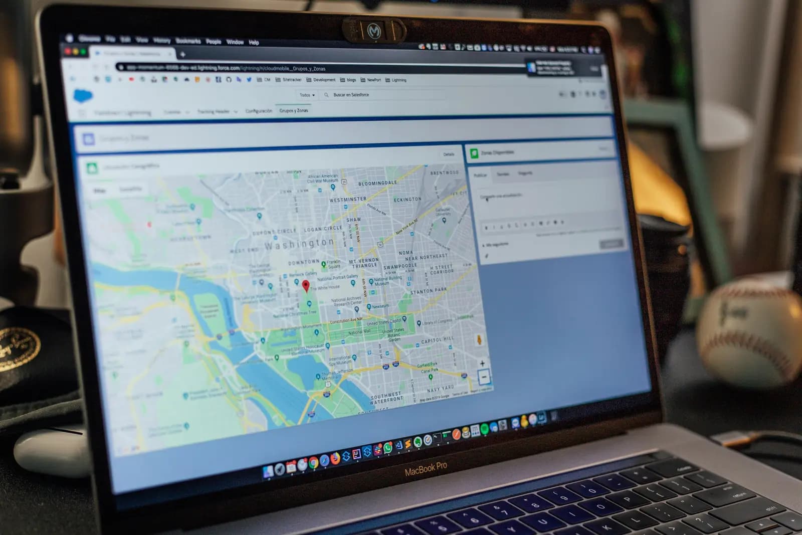
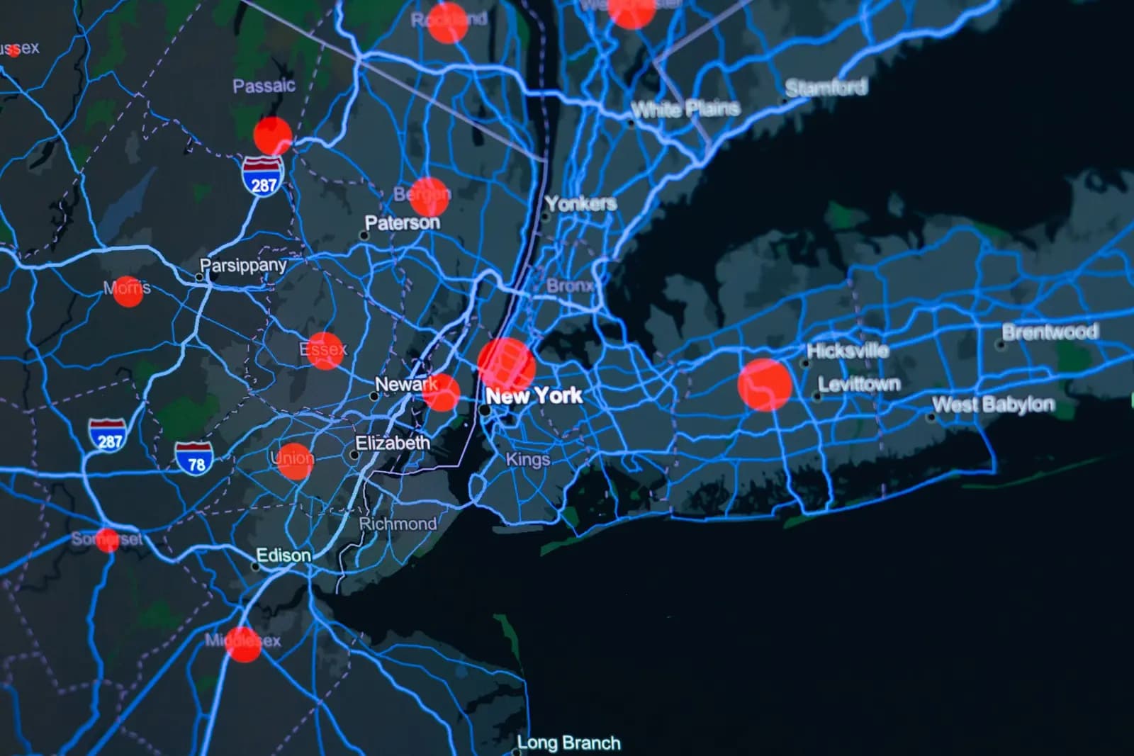
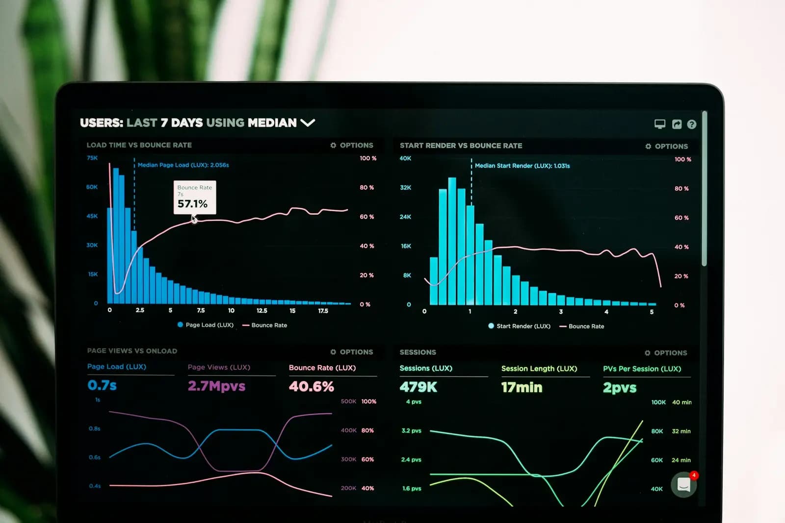
Geospatial software built by surveyors who know field work: interactive GIS dashboards on Mapbox and PostGIS, offline-first field apps, automated drone-data pipelines with COG outputs, custom point-cloud tooling, BIM/CAD integrations, and self-hosted map services with no Google dependency — and you own the code outright with full Git handover

From the field
Our crews on real projects
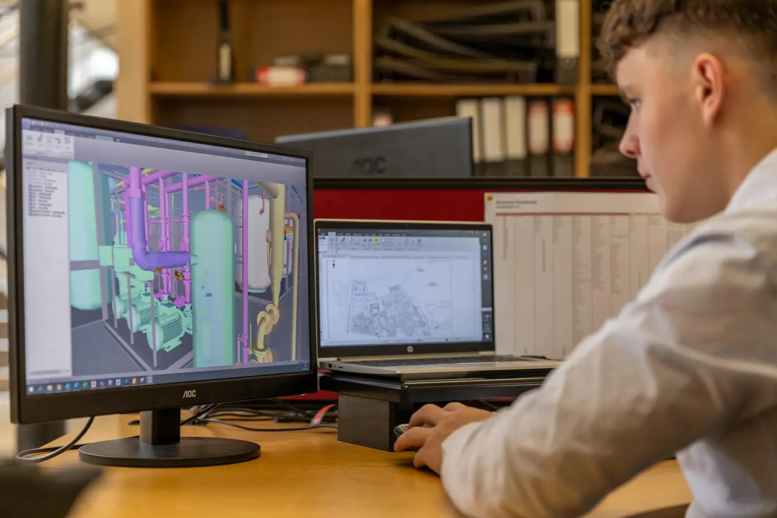
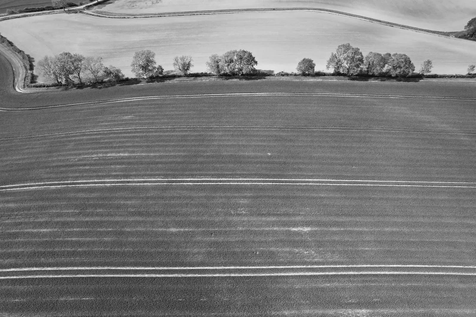
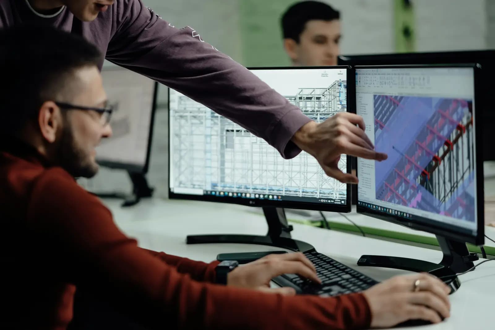
Real photographs from GeoGiza's field projects across Egypt and the region.
Explore more