

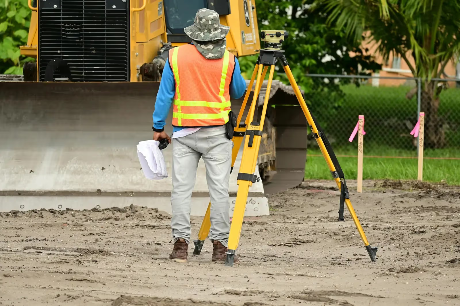
Land Surveying
Land surveying works by a certified survey office: topographic surveys, setting-out, and ownership plates using Total Station and GPS/GNSS instruments
The instruments behind this work
 From our field work
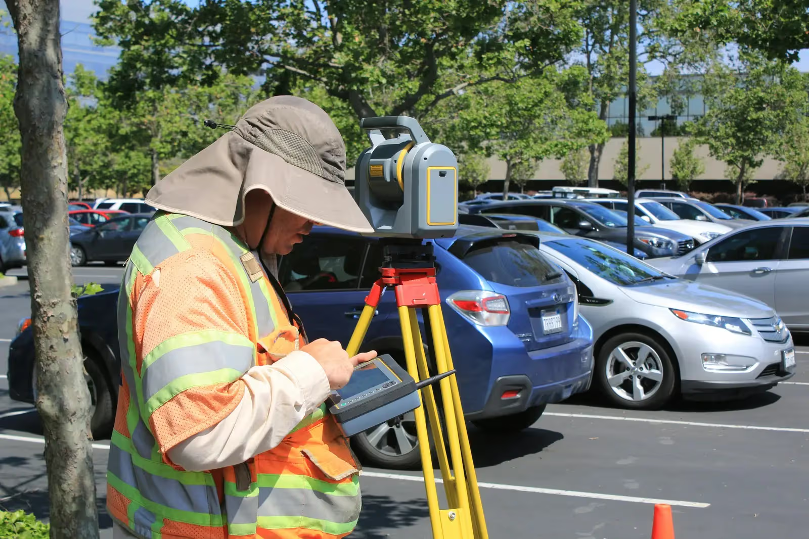
Total stations
Survey instruments for precise angle and distance measurement — control networks, layout, and as-builts.
such as Leica TS16, Viva TS, Topcon ES-series
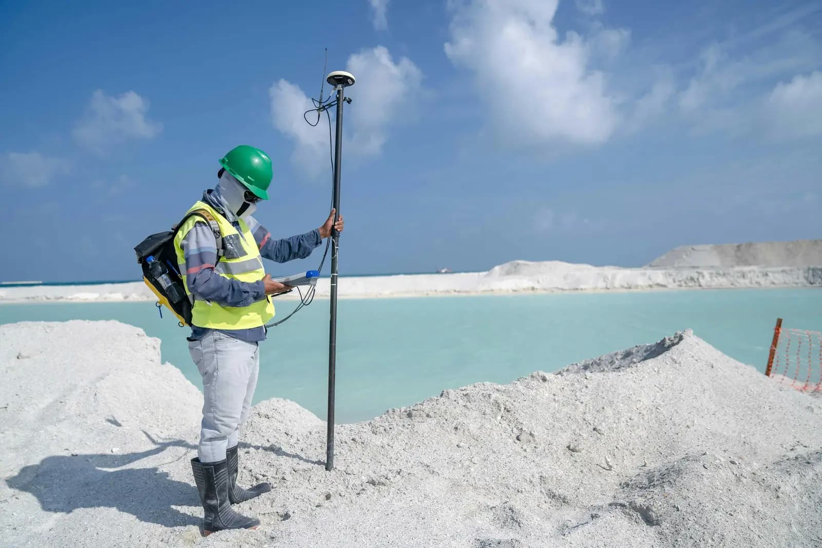
 From our field work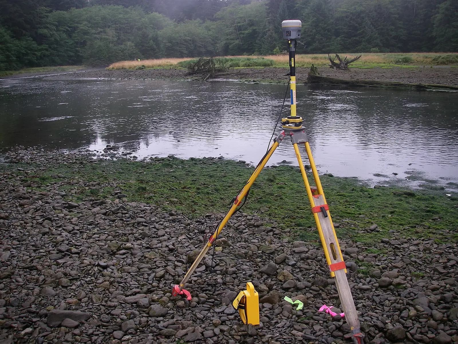
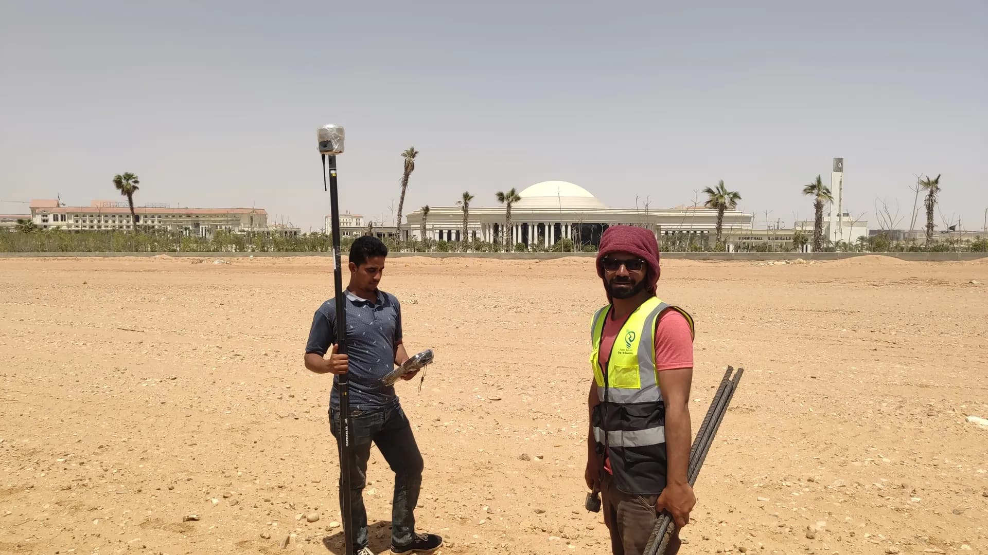
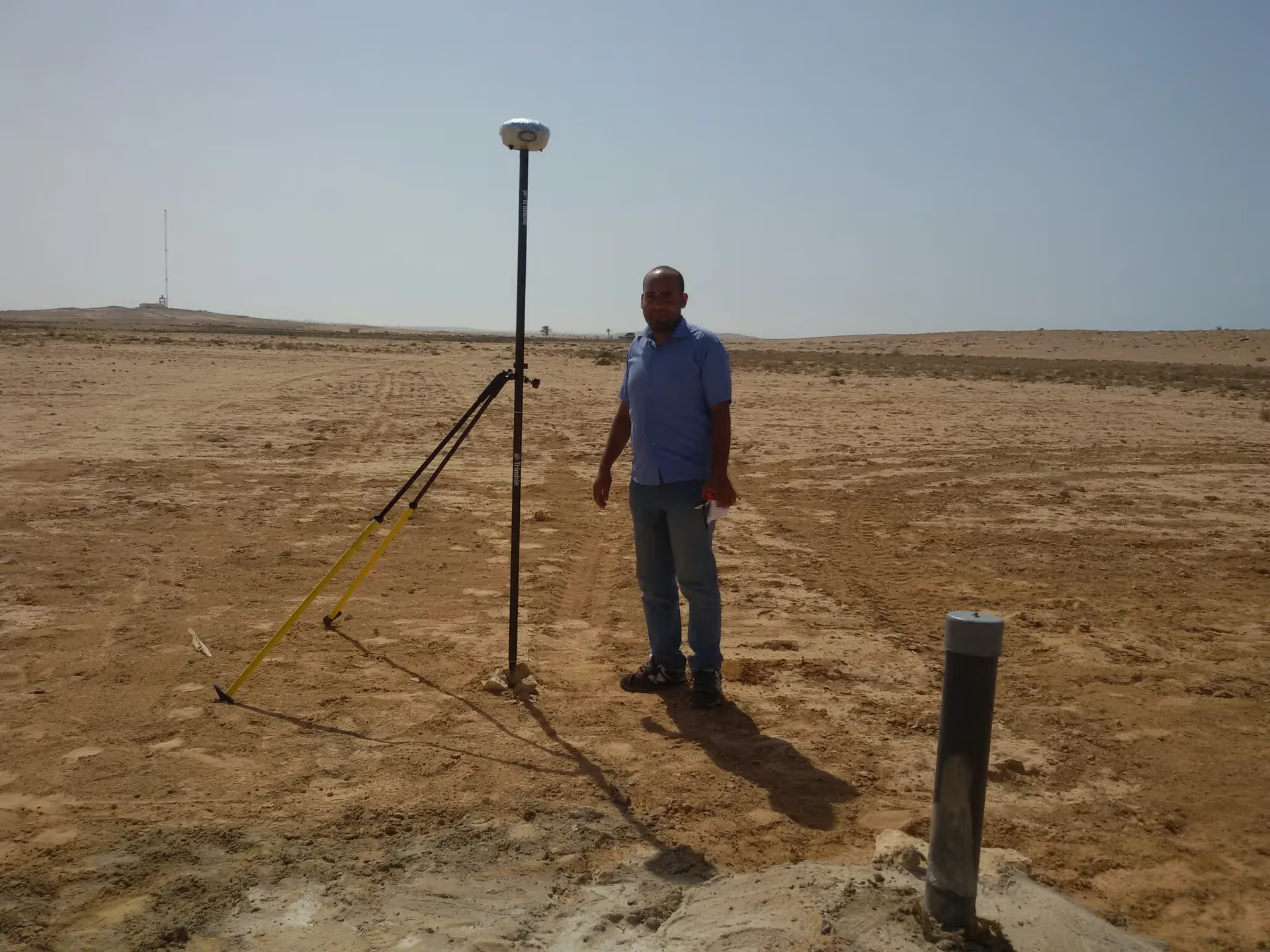
GPS / GNSS / RTK receivers
Survey-grade GPS receivers for centimeter-accurate satellite positioning (RTK) — control, topographic, and cadastral work.
such as Trimble R10/R8, Topcon Hiper V, Leica GS18

Levels
Automatic and digital levels for high-precision elevation and benchmark networks.
automatic & digital levels
Real scale, a proven record
An elite team and an owned fleet delivering the region's largest surveying programs.
- 2,500+ Clients
- 2,500+Clients
- 3000+ Projects delivered
- 3000+Projects delivered
- 90 Owned instruments
- 90Owned instruments
- Elite Engineers & surveyors
- EliteEngineers & surveyors
Our record by sector
survey, design & supervision
network leveling surveys
alignment & layout
high & medium voltage
master layout for entire cities
survey & layout
participation in landmark works
survey & execution
Our crews on real projects
Real photographs from GeoGiza's field projects across Egypt and the region.