

Loading…
We prepare certified surveying reports and decisions and update property deeds to match municipality and Balady requirements in Saudi Arabia. This covers coordinate reconciliation, fixing deed boundaries on the ground, and producing the certified survey and sketch required to issue building permits and surveying decisions.
A permit or registration transaction stalls for weeks over a non-matching sketch, missing coordinates, or a survey report that fails the authority’s requirements. We prepare the surveying report and decision to spec the first time — verified coordinates, boundaries fixed on the ground, a licensed office’s stamps — so the transaction moves without rejections.
Property owners, developers, engineering offices, and lawyers obtaining building permits or surveying decisions, or updating legacy deeds through the competent authorities and their electronic platforms.
Review the deed, documents, and the authority’s requirements
Field survey fixing the property boundaries by coordinates
Reconcile the boundaries against the deed and document any variance
Issue the certified, stamped report/decision and sketch
From our owned 90+ instrument fleet, we deploy the following on this service:

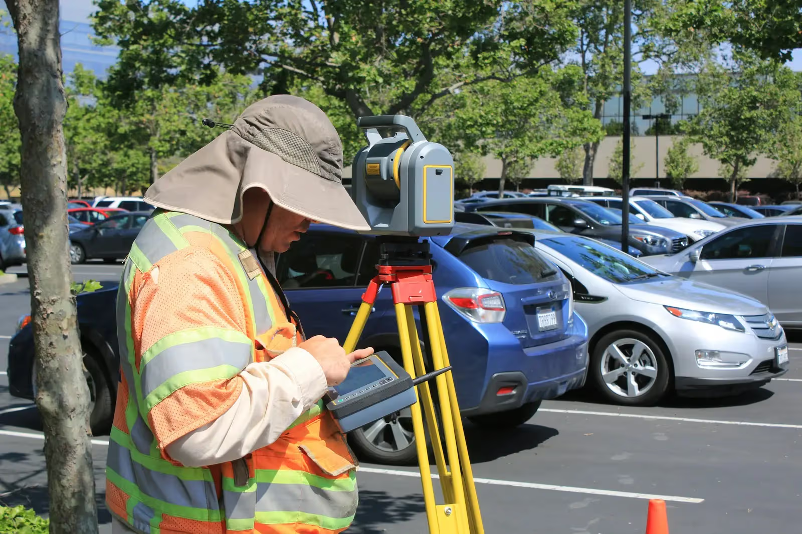
Survey instruments for precise angle and distance measurement — control networks, layout, and as-builts.
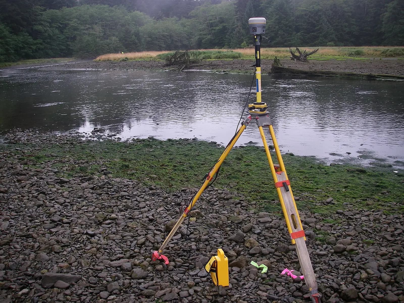
Survey-grade GPS receivers for centimeter-accurate satellite positioning (RTK) — control, topographic, and cadastral work.

Automatic and digital levels for high-precision elevation and benchmark networks.
We own and operate our field fleet — our site shots carry the “From our field work” chip, alongside class-reference photos.
Yes, we prepare reports and decisions to the standards required for submission on the Balady platform and municipality requirements.
Yes, we survey the actual boundaries, reconcile them against the deed, and document the discrepancies in a certified report to correct the record.
It depends on scope: the transaction type (surveying decision, deed update, boundary reconciliation), the property’s area and location, and the authority’s certification and attachment requirements. After reviewing your deed copy and identifying the authority we send a written quote with cost and timeline before any commitment.
To start we only need a copy of the deed or ownership document, the parcel and plan numbers if available, and the property location on a map — plus the target authority and purpose (building permit, deed update, reconciliation). Any additional document the authority requires we point you to, and we prepare whatever is survey-related within the same engagement.
Real photographs from GeoGiza's field projects across Egypt and the region.
We take the risk off your project — so you can commit with confidence.
If a deliverable misses the agreed accuracy spec, we re-survey and correct it at no extra cost.
We agree the delivery schedule up front and keep you updated at every stage until it's met.
Every engagement is covered by an NDA. Your data and drawings are never shared.
You receive the editable source files (DWG, DXF and more) — full ownership, no lock-in.