

Loading…
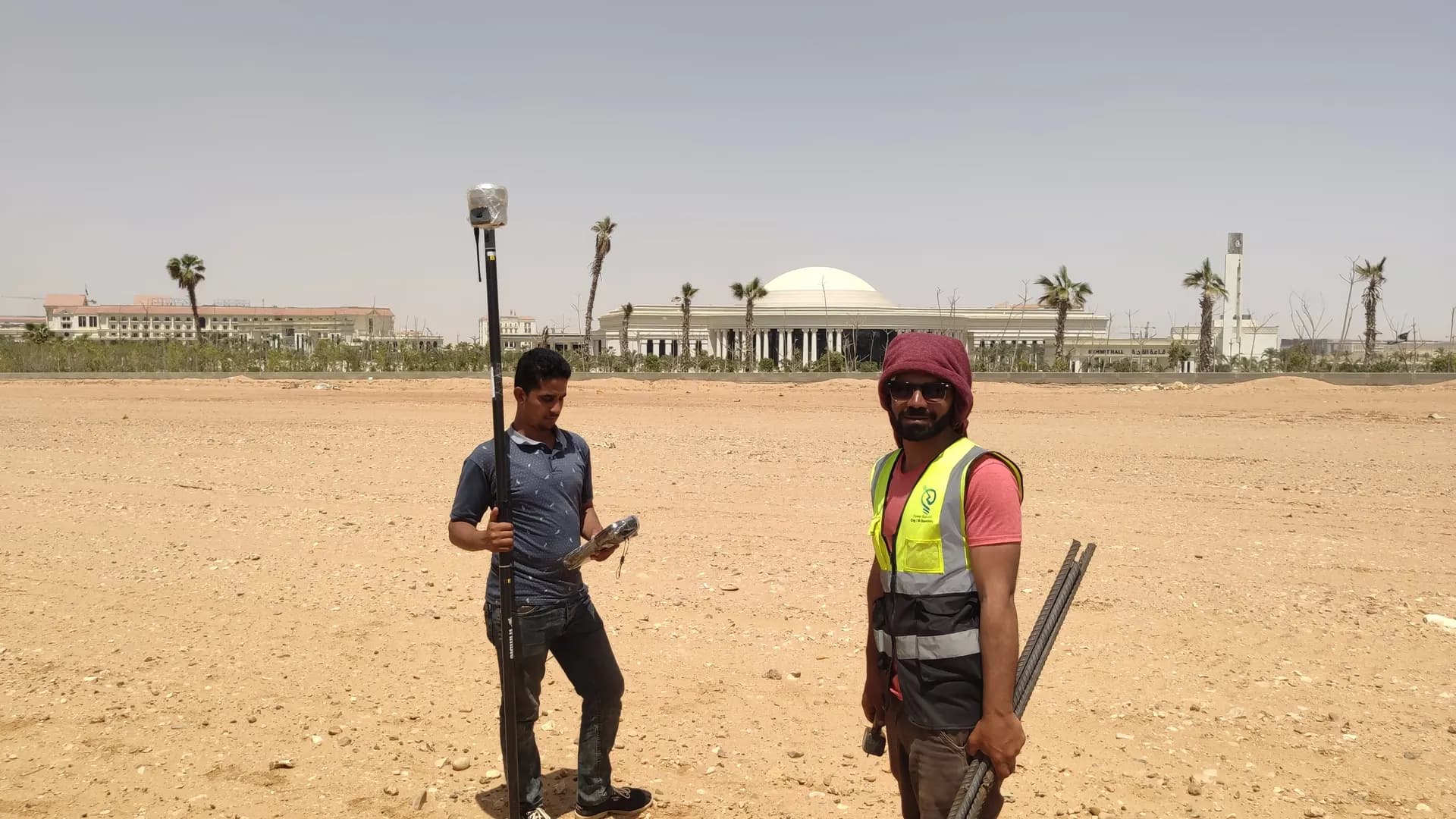
A complete topographic survey of your site with Total Station and GPS/GNSS-RTK instruments at centimetre accuracy: we capture coordinates, elevations, and existing features (buildings, walls, trees, visible utilities), and produce a contour map, DWG/DXF files, and a CSV coordinate table ready as the basis for architectural and structural design and cut-and-fill quantities. Every survey ties into documented control points and is certified by a report signed by a licensed survey engineer.
Too many projects start from outdated drawings or rough coordinates, then hit costly cut-and-fill and quantity surprises on site. An accurate topographic survey gives you a true picture of the ground before you design or build.
Design offices and consultants, contractors, real-estate developers, and landowners who need reliable site data before design, construction, or quantity take-off.
Site visit and control-point setup using GNSS-RTK
Field capture with survey instruments (Total Station and GPS) and UAV where needed
Data processing — computing coordinates and elevations
Drawing contour lines and producing DWG/DXF files
QA review and report certification by a licensed engineer
From our owned 90+ instrument fleet, we deploy the following on this service:

Survey instruments for precise angle and distance measurement — control networks, layout, and as-builts.
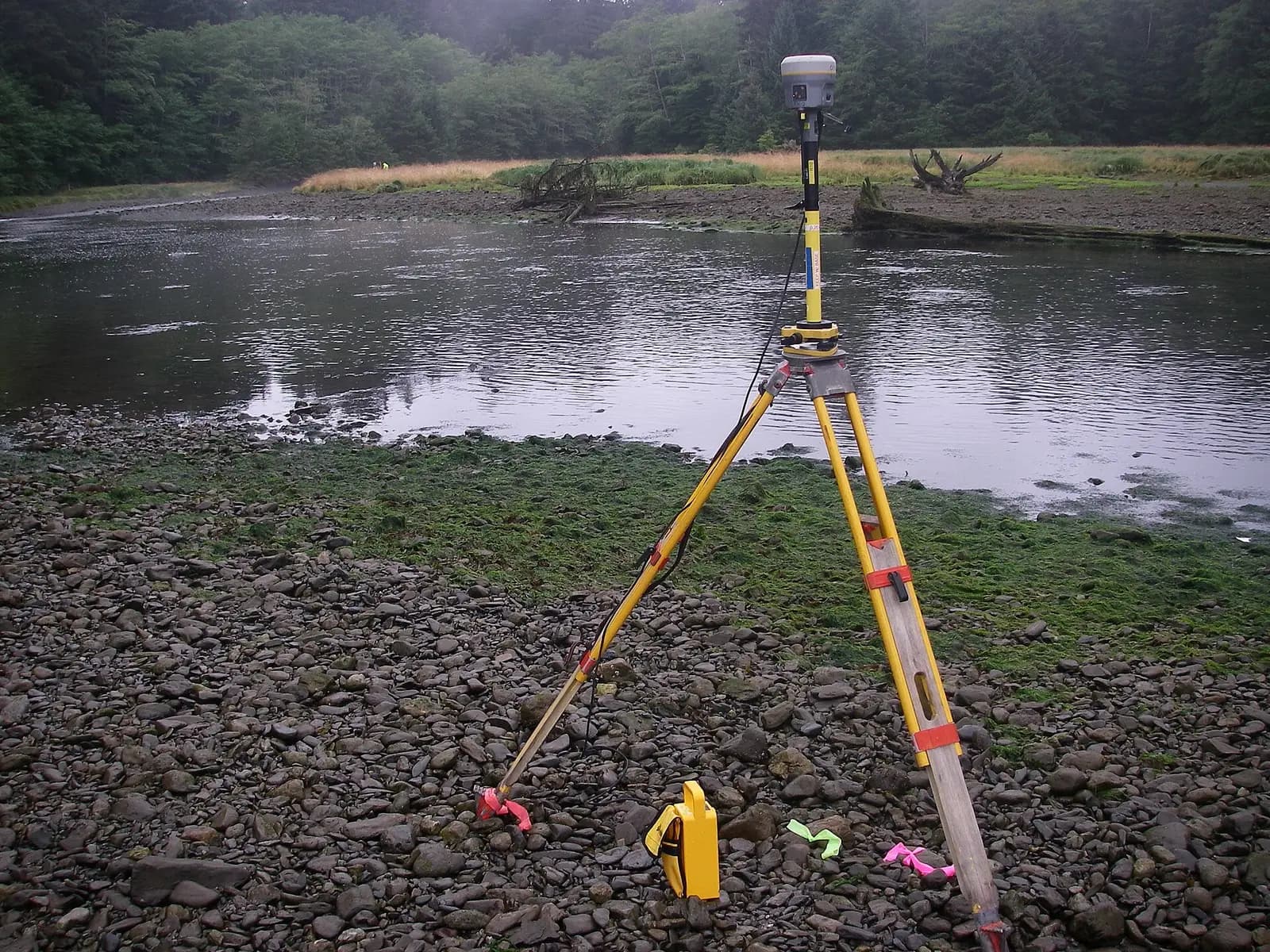
Survey-grade GPS receivers for centimeter-accurate satellite positioning (RTK) — control, topographic, and cadastral work.

Automatic and digital levels for high-precision elevation and benchmark networks.
We own and operate our field fleet — our site shots carry the “From our field work” chip, alongside class-reference photos.
We deliver centimeter-grade accuracy (±2 cm horizontal and vertical) using Total Station and GPS/GNSS-RTK survey instruments.
Yes, we cover anything from 100 m² to hundreds of acres, with multiple field crews and UAV teams for large projects.
Ownership plates are a separate service. Topographic surveys focus on coordinates and elevations; ownership plates relate to boundaries and ownership documents.
Pricing starts at EGP 50 per m² for small, open sites; the unit rate drops as the area grows, while dense features, difficult terrain, and certification requirements raise it. The final price depends on scope — we send a detailed quote within 24 hours of reviewing the site boundaries.
You receive a DWG/DXF organized on standard layers (points, contours, features, boundaries), a CSV coordinate table, a signed PDF report, and site photos; the files open directly in AutoCAD, Civil 3D, Revit, and GIS software with no extra processing.
If the survey is over a year old or site features changed (excavation, fill, new structures, road works), a fresh survey costs far less than discovering discrepancies during construction. We recommend an update survey before any expansion or redesign.
Real photographs from GeoGiza's field projects across Egypt and the region.
We take the risk off your project — so you can commit with confidence.
If a deliverable misses the agreed accuracy spec, we re-survey and correct it at no extra cost.
We agree the delivery schedule up front and keep you updated at every stage until it's met.
Every engagement is covered by an NDA. Your data and drawings are never shared.
You receive the editable source files (DWG, DXF and more) — full ownership, no lock-in.