Loading…
We perform infrastructure surveying for roads, bridges, water/sewer and power networks: longitudinal and cross sections, centreline setting-out, as-built capture of existing networks, and earthwork-volume calculation. Deliverables integrate with design and project management for reconstruction and large-expansion projects.
From our owned 90+ instrument fleet, we deploy the following on this service:

Survey instruments for precise angle and distance measurement — control networks, layout, and as-builts.

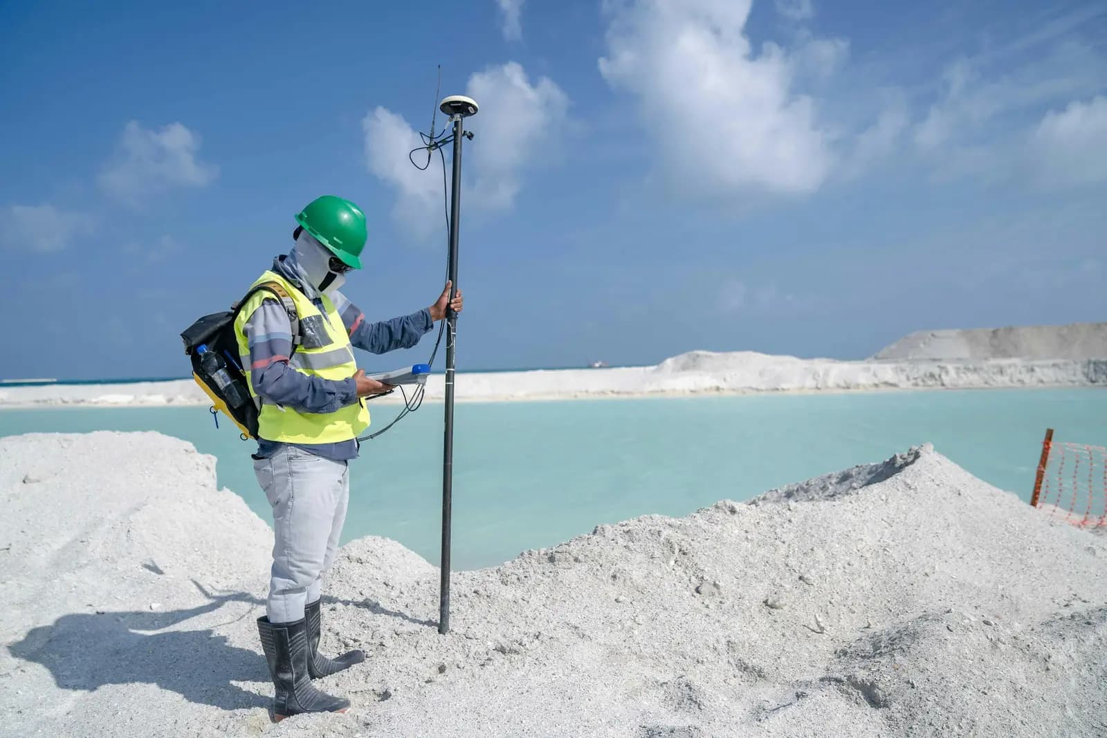
Survey-grade GPS receivers for centimeter-accurate satellite positioning (RTK) — control, topographic, and cadastral work.

Automatic and digital levels for high-precision elevation and benchmark networks.
We own and operate our field fleet — our site shots carry the “From our field work” chip, alongside class-reference photos.
Yes, we mobilise regional crews for infrastructure and reconstruction projects with full documentation of control points and measurements.
Real photographs from GeoGiza's field projects across Egypt and the region.
We take the risk off your project — so you can commit with confidence.
If a deliverable misses the agreed accuracy spec, we re-survey and correct it at no extra cost.
We agree the delivery schedule up front and keep you updated at every stage until it's met.
Every engagement is covered by an NDA. Your data and drawings are never shared.
You receive the editable source files (DWG, DXF and more) — full ownership, no lock-in.