Loading…
Preparation of certified ownership plates
A stalled land registration or sale because of an outdated ownership plate — or one that no longer matches the ground — is common and costly. We prepare an accurate, certified plate that matches reality and is accepted by the registry.
Landowners, real-estate developers, and lawyers who need a certified ownership plate for registration, subdivision, or sale.
Review the ownership document and required boundaries
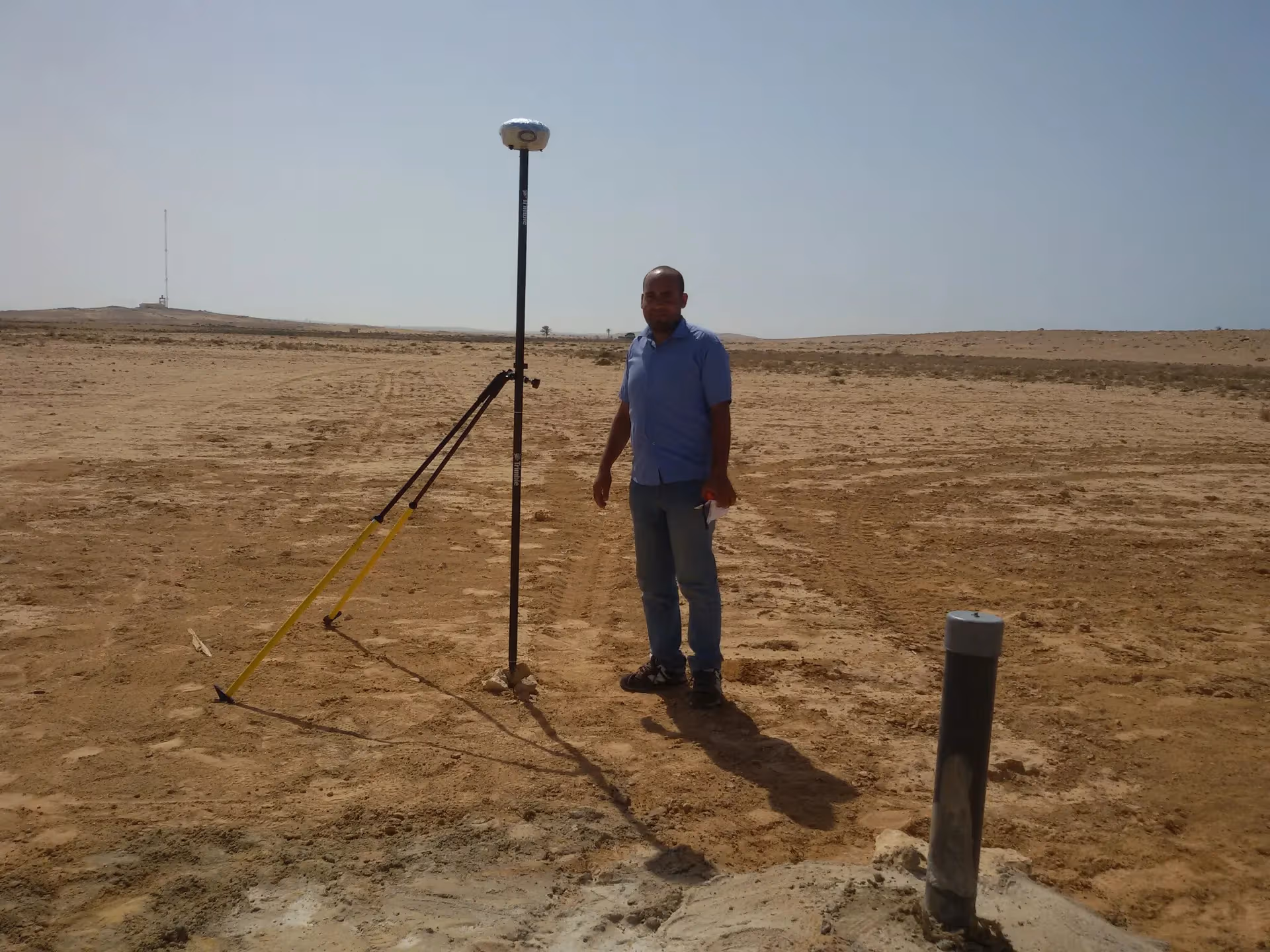
Field survey of the actual boundaries to precision
Draft the plate and compute area and dimensions
Certification and signature by a licensed engineer with required stamps
From our owned 90+ instrument fleet, we deploy the following on this service:

Survey instruments for precise angle and distance measurement — control networks, layout, and as-builts.

Survey-grade GPS receivers for centimeter-accurate satellite positioning (RTK) — control, topographic, and cadastral work.

Automatic and digital levels for high-precision elevation and benchmark networks.
We own and operate our field fleet — our site shots carry the “From our field work” chip, alongside class-reference photos.
Yes, the plate is prepared with all required stamps and approvals from the engineers syndicate and the registry.
You receive 3 original stamped paper copies, plus digital PDF and DWG copies.
Real photographs from GeoGiza's field projects across Egypt and the region.
We take the risk off your project — so you can commit with confidence.
If a deliverable misses the agreed accuracy spec, we re-survey and correct it at no extra cost.
We agree the delivery schedule up front and keep you updated at every stage until it's met.
Every engagement is covered by an NDA. Your data and drawings are never shared.
You receive the editable source files (DWG, DXF and more) — full ownership, no lock-in.