Land, drone & hydrographic surveying — total stations, GNSS, drones, multibeam.
Shop drawings, point clouds, GIS mapping & BIM — production-grade deliverables.
Geospatial software built by surveyors — GIS dashboards, field apps, drone pipelines.
Bills of quantities, earthwork, and road design & quantities — ready for tender and execution.
Explore
3000+projects delivered with a 90+ instrument fleet
Insights, news, and updates from the Giza team.
Insights · Jun 6, 2026
A plain-language hub to the terms you keep hearing on a project — topographic survey, point cloud, orthomosaic, LiDAR, GIS, GNSS, geoid, datum, BIM — explained the way our field crews actually use them, and wired together so you can see how one feeds the next.
21 posts
RTK and total stations carry most of our fieldwork, but when a project lives or dies by vertical accuracy we still reach for a digital level and a properly tied benchmark network. Here is how our field team runs precise levelling, and when the extra effort pays for itself.
A field guide to Egypt's national grid, the datums and EPSG codes we actually use on projects, and why mixing datums is the fastest way to corrupt good data.
Every reliable survey starts with control. Here is how our field crews design a control network — choosing between RTK GNSS and total-station traverse, and budgeting error so deliverables hold to centimetre tolerances.
On our hydrographic jobs the depth survey method is a budget and a risk decision before it is a technical one. Here is how we choose between single-beam and multibeam echo sounders, how IHO S-44 accuracy orders shape the call, and where each one earns its place on the water.
Drawings say where a wall should be. An as-built survey records where it actually landed. Here is how our crews verify construction against design with the total station and the laser scanner — and check it against tolerance, not opinion.
How our field crews recover lost cadastral boundaries on Egyptian parcels — searching for buried iron markers, re-tying to Egyptian Survey Authority control, and re-staking corners owners can actually find on the ground.
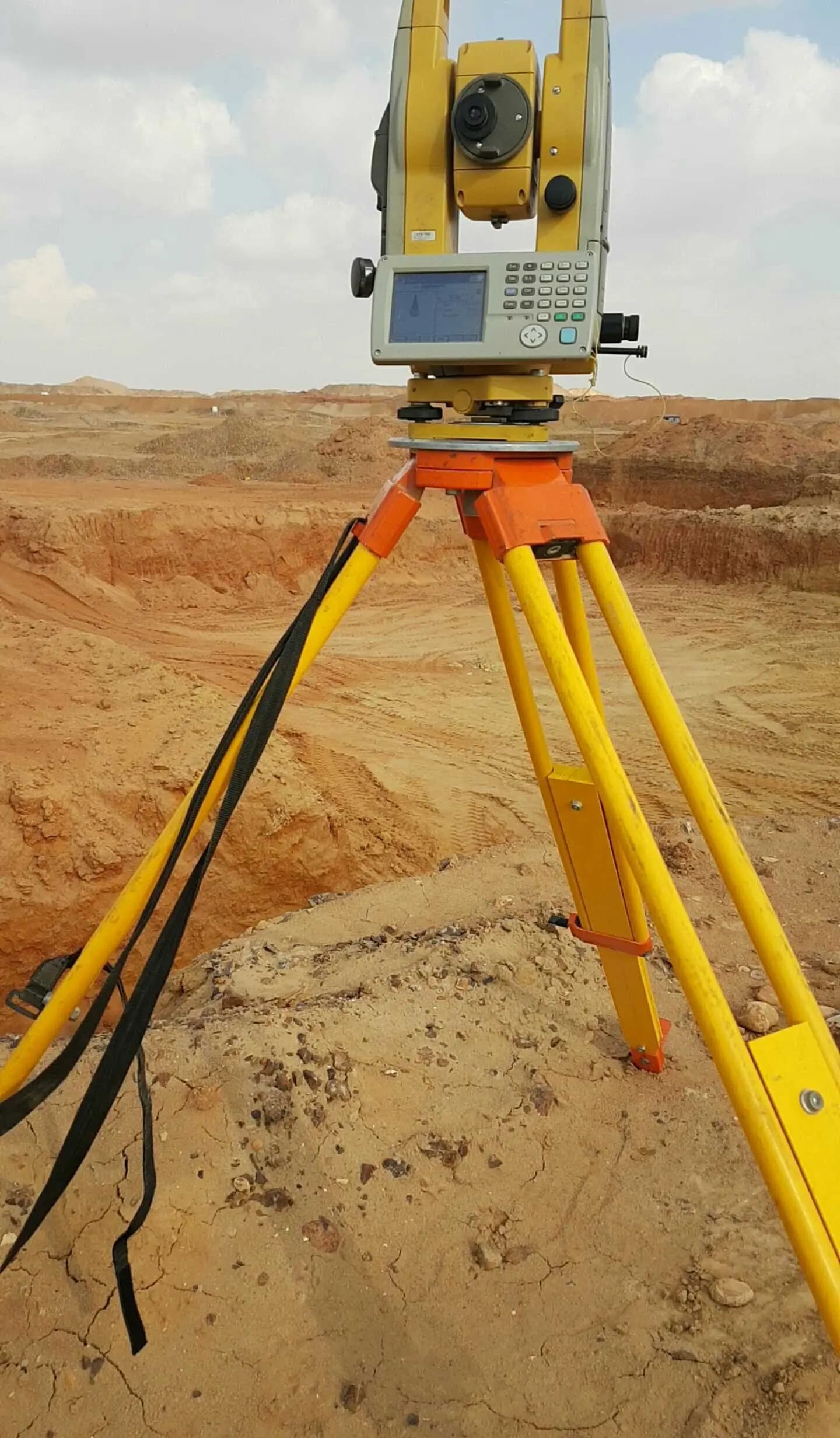
A robotic total station turns a two-person crew into one and lets the rod-holder drive the instrument. But it is not always the right tool. Here is how our field teams decide — by job, sight lines, prism tracking, and crew economics.
What actually happens between a bare site and a contoured DWG. We walk a topographic survey the way our crews run it — control first, then GNSS-RTK and total-station capture, then processing into a contour map and CAD deliverable.
What a 3D laser scanner actually captures in the field, how we turn the point cloud into a BIM model, and the call we make on site when a scanner beats a total station.