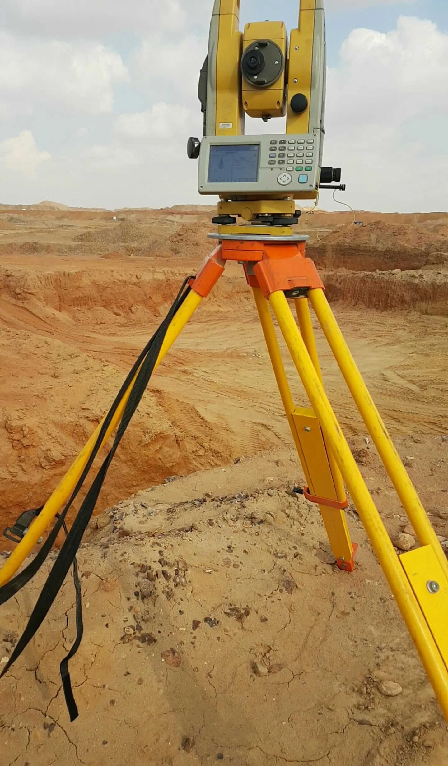
Land, drone & hydrographic surveying — total stations, GNSS, drones, multibeam.
Shop drawings, point clouds, GIS mapping & BIM — production-grade deliverables.
Geospatial software built by surveyors — GIS dashboards, field apps, drone pipelines.
Bills of quantities, earthwork, and road design & quantities — ready for tender and execution.
Explore
3000+projects delivered with a 90+ instrument fleet
Insights, news, and updates from the Giza team.
21 posts
A GNSS receiver hands you an ellipsoidal height — a number that means nothing to a drainage engineer. Here is how our crews turn that into a real orthometric height surveyors and water actually agree on, and why the geoid model and a benchmark tie sit between the two.
A UAV can fly a thousand acres in an afternoon, but the orthomosaic and DTM are only as good as the ground control under them. Here is the GCP-first workflow we run on our road and farmland projects, and what happens to accuracy when control is thin.