

The boundary is already there — our job is to find it again
On most of the cadastral jobs we get called to, nobody is asking us to invent a line. The line already exists: it is described in the title, drawn on a cadastral sheet, and at some point it was monumented with iron markers in the field. What the owner has actually lost is the evidence. The markers are buried under a metre of fill, ploughed out, taken when a neighbour rebuilt a wall, or simply paved over. Boundary recovery is the work of reconstructing that already-existing boundary from whatever evidence survives — on paper and in the ground — and putting recoverable corners back where the record says they belong.
We say this to owners on day one because it reframes the whole engagement. We are not negotiating a new boundary and we are not the authority that decides a dispute. We are recovering legal evidence, weighting it honestly, and re-staking corners you can find tomorrow. The discipline is in the order of operations, and in resisting the temptation to make the answer look cleaner than the evidence allows.
We read the record before we touch a tripod
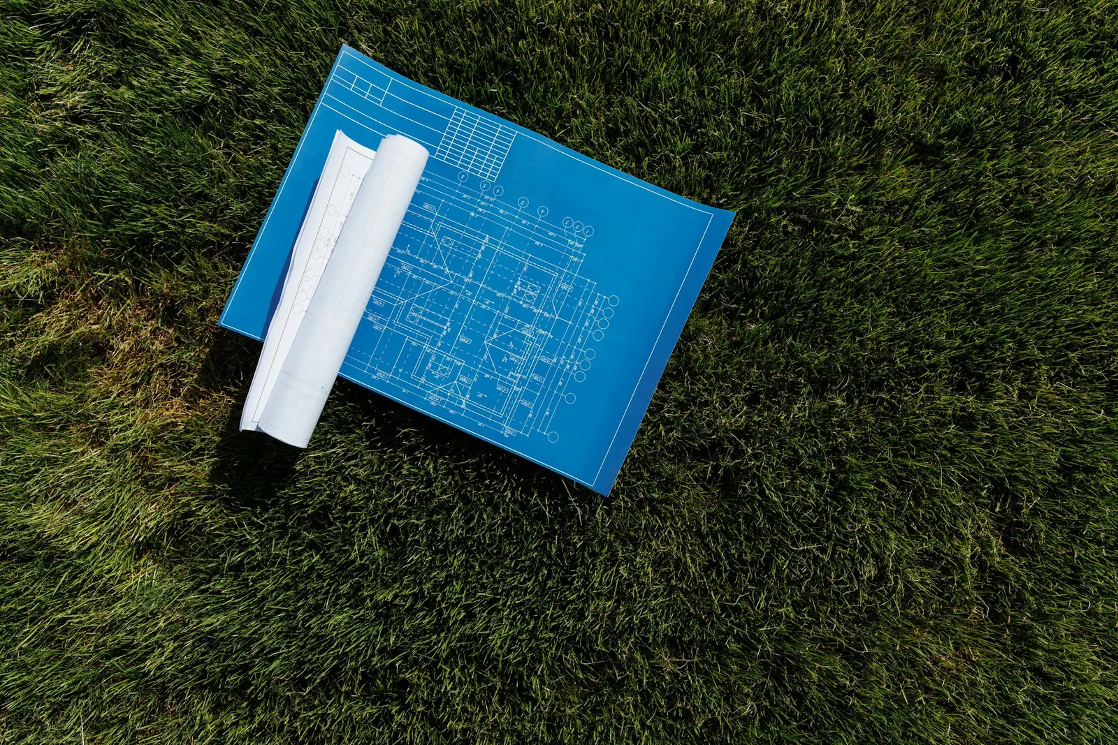
The first instrument on a recovery job is paperwork, not a total station. Before a crew mobilises we pull the title file, the cadastral sheet referenced to the Egyptian Survey Authority framework, and any prior survey the owner can produce. We reconcile the parcel's recorded dimensions and bearings against the sheet, list the boundary corners we expect to physically recover, and note where the record is internally inconsistent — because it often is. A transcribed dimension that does not close, a bearing that was rounded decades ago, a sheet edge that was hand-fitted: these are the things that decide where to dig, and they are far cheaper to catch in the office than at 40°C in a field.
That desk pass also tells us what control to expect. The cadastral record is not floating; it is tied to national reference points. Knowing which ESA control we can reach near the parcel determines how we will hold the recovered corners into the correct datum rather than a convenient local one.
The field experience behind the method
- 1,000+
- Survey projects delivered
- Across cadastral, infrastructure and engineering work
- 800,000+
- Feddans levelled
- Land-scale ground experience
- 2,500+
- Clients served
- Owners, developers and contractors
How we recover a cadastral boundary in the field
- 1
Record review: read the title file and the ESA-referenced cadastral sheet; list the corners to recover and flag any geometry that does not close.
- 2
Control tie: occupy or re-observe Egyptian Survey Authority control near the parcel so all field work is anchored in the national datum.
- 3
Evidence search: hunt for surviving monuments — buried iron markers, old wall footings, fence lines and occupation features — using the record dimensions as a guide and a metal detector where markers may be buried.
- 4
Reconcile: compare recovered physical evidence against the record geometry; where they disagree, weight long-standing ground evidence over transcribed paper and document the conflict.
- 5
Re-stake: set the recovered corners with a total station from the control tie, marking each with a durable monument the owner can relocate.
- 6
Deliver: hand over a recovery plan showing what was found, what was reset, the ties to ESA control, and any unresolved discrepancy flagged honestly.
Evidence beats paper when the two disagree
The hardest part of a recovery is never the measurement — it is the judgement. Cadastral sheets in Egypt carry decades of transcription, rounding, and edge-matching, and the dimension written on the sheet is a copy of a copy of an original observation. When we lift an original iron marker out of the ground, or find an old boundary wall both neighbours have respected for fifteen years, that physical evidence usually carries more weight than a paper dimension that disagrees by a few centimetres. The marker is the boundary the parties have lived by.
So we do not silently average a found marker against the sheet to make the numbers look tidy. We hold the best surviving evidence, show the owner exactly where the record disagrees, and flag the discrepancy in the deliverable rather than burying it inside one clean coordinate. An honest flag protects the owner; a clean lie does not.
Typical field positioning on recovered corners
Choosing the instrument for the corner
| Criterion | GNSS (RTK/static) | Total station |
|---|---|---|
| Best where | Open parcels, long ties to ESA control | Built-up corners, walls, tree cover |
| Needs sky view | Yes — struggles under canopy/walls | No — line of sight to the corner |
| Ties the parcel to the national datum | Directly, via ESA control | Via a GNSS-fixed control tie |
| Typical spread on the recovered corner | ~±15–25 mm RTK / ±3–8 mm static | ~±2–5 mm |
On a real parcel we use both — GNSS to bring the national datum onto site, the total station to set corners tight to walls and obstructions. Spread figures are illustrative.
Anchor to the national framework, every time
A recovered corner is only defensible if it lives in the same reference frame as the record. We tie every cadastral recovery back to Egyptian Survey Authority control so the result reconciles against the official sheet and neighbouring parcels — never to a floating local grid invented for the day. International surveying practice (FIG) makes the same point: cadastral measurements must be expressed in, and traceable to, the recognised national geodetic framework.
A recovered boundary corner
The instruments we recover boundaries with
 From our field work
Total stations
Survey instruments for precise angle and distance measurement — control networks, layout, and as-builts.
such as Leica TS16, Viva TS, Topcon ES-series
 From our field work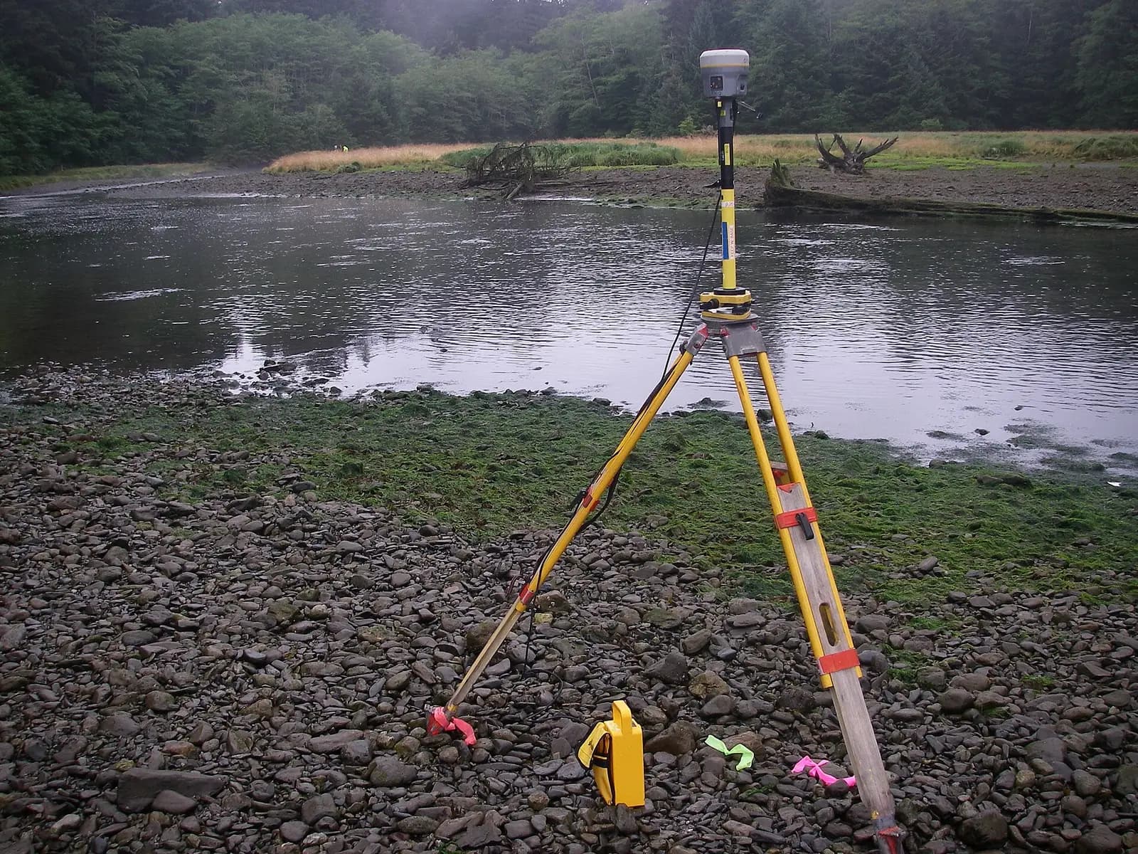
GPS / GNSS / RTK receivers
Survey-grade GPS receivers for centimeter-accurate satellite positioning (RTK) — control, topographic, and cadastral work.
such as Trimble R10/R8, Topcon Hiper V, Leica GS18
GNSS receivers bring the national datum onto the parcel; total stations set the recovered corners tight to walls and obstructions where satellites cannot.
Take the next step
References
- Egyptian Survey Authority — national reference for mapping, cadastre, and control — Egyptian Survey Authority (ESA)
- International Federation of Surveyors publications on professional and cadastral standards — International Federation of Surveyors (FIG)