

The mistake that hides in plain sight
On almost every project we take over from another team, the field accuracy is fine. The instruments were good, the observations were tight, the crew knew what they were doing. What we find broken — again and again — is the coordinate reference. A DWG with no declared datum. A shapefile labelled "WGS84" that is actually sitting on an Egypt 1907 grid. A control sheet that mixes UTM and Egyptian Transverse Mercator without anyone noticing, because both are in metres and both look reasonable on screen.
That is the quiet danger of coordinate systems: a datum or projection error rarely looks like an error. It shifts everything by a consistent amount, so internally the survey still closes, still plots cleanly, still passes a casual check. It only bites when you tie into existing control, hand over to a contractor, or stake it out on site and find the road centreline is twelve metres off. This article is how we keep that from happening on our work in Egypt.
Egypt's national grid, in practice
Egypt's traditional national framework is the Egyptian Transverse Mercator (ETM) — a family of Transverse Mercator belts (you will hear them called the Red Belt and Purple Belt, among others) referenced to the Egypt 1907 / Old Egyptian datum on the Helmert 1906 ellipsoid. This is the grid behind a great deal of the cadastral and legacy engineering data in the country, and the Egyptian Survey Authority is the custodian of that framework.
Alongside it, modern work routinely uses UTM zones 35N and 36N on WGS84 — the dividing meridian runs near 30°E, so eastern Egypt falls in 36N and the western projects in 35N. And the raw output of any GNSS receiver is, fundamentally, WGS84 / ITRF — a global geocentric datum, not a national grid at all. Three different worlds, all valid, all in daily use. The skill is not picking one; it is knowing exactly which one each dataset lives in, and transforming deliberately between them.
The systems we work in — and their EPSG codes
| System | Datum / Ellipsoid | Typical use | EPSG |
|---|---|---|---|
| WGS84 geographic (lat/long) | WGS84 | Raw GNSS, web maps, global exchange | 4326 |
| UTM Zone 35N | WGS84 | Western Egypt engineering grids | 32635 |
| UTM Zone 36N | WGS84 | Eastern Egypt engineering grids | 32636 |
| Egypt 1907 / Red Belt (ETM) | Egypt 1907 / Helmert 1906 | Cadastre & legacy national grid | 22992 |
| Egypt 1907 / Purple Belt (ETM) | Egypt 1907 / Helmert 1906 | Cadastre & legacy national grid | 22993 |
EPSG codes we declare explicitly on every deliverable. Codes per the EPSG registry; confirm the belt/zone against your project's control before use. · Coordinate reference identifiers per the EPSG Geodetic Parameter Dataset. See references.
Why we obsess over this
- 3000+ km
- of road alignments surveyed
- every one referenced to a declared grid
- 600+ km
- of railway alignments
- where a datum slip means re-staking track
- 800,000+
- feddans levelled
- areas only mean something on a stated projection
What a datum shift actually does to your data
A datum is just an agreement about where the coordinate origin and the reference ellipsoid sit relative to the planet. Egypt 1907 and WGS84 were defined decades apart, with different ellipsoids and different anchoring, so a given physical point gets different numbers in each — offset by a datum shift on the order of tens to a couple of hundred metres, varying with location.
Here is the trap. If you take WGS84 coordinates and simply relabel them as Egypt 1907 (or plot them on that grid) without running the transformation, every point in your dataset moves by almost the same vector. The internal shape is preserved. Distances between your own points are fine. Closures still close. So the file sails through QC — until it meets a point whose coordinates came from the other datum. We have illustrated the scale of the problem below; treat the magnitudes as typical, not as fixed constants for any one site.
Error scale: a real survey error vs. an undeclared datum slip
Declare the CRS — every layer, every time
Per common geodetic practice and the EPSG registry convention, no coordinate is complete without its reference. Every deliverable we issue carries an explicit EPSG code, the datum name, the projection, and the units. An unlabelled coordinate is not a coordinate — it is a guess, and on a national grid that guess can be wrong by enough to re-stake an entire alignment.
How we lock the coordinate reference on a new project
- 1
Read the client spec and capture the required output CRS in writing — system, datum, projection, zone/belt, units and EPSG code — before any crew mobilises.
- 2
Recover and validate existing control: occupy at least two known national-grid points and confirm their datum and belt/zone against the published values.
- 3
Observe in GNSS WGS84/ITRF and keep the raw vectors untouched as the traceable source of truth.
- 4
Apply the agreed transformation (datum shift + projection) to the declared national grid, and record the exact parameters used.
- 5
Check on an independent control point that did not drive the transform — if it lands within tolerance, the datum is right; if it lands at a consistent offset, you have a datum slip to fix.
- 6
Tag every output file with its EPSG code and ship the transformation report alongside the coordinates.
One country, many grids
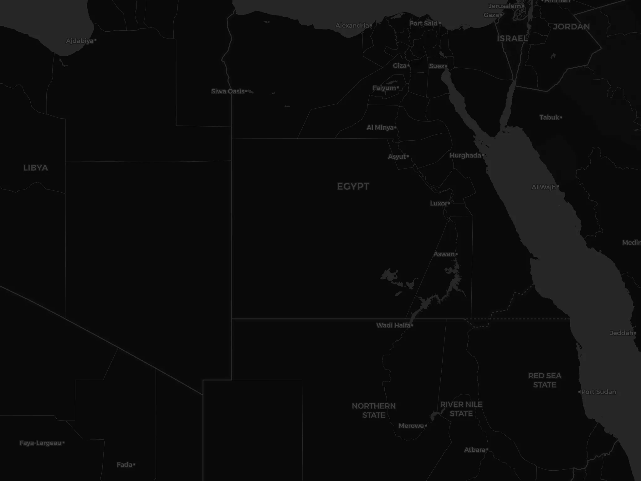
Choosing the output grid
| Criterion | WGS84 geographic | UTM (WGS84) | ETM / Egypt 1907 |
|---|---|---|---|
| Native to GNSS | Yes | After projection | After datum + projection |
| Metres on a plane | No (degrees) | Yes | Yes |
| Matches legacy cadastre | No | Sometimes | Yes |
| Distortion across Egypt | N/A | Low within zone | Low within belt |
There is no single 'best' grid — there is the grid your client's data already lives in. We match it and declare it.
Keep reading
References
- EPSG registry of coordinate reference systems and map projections — EPSG Geodetic Parameter Dataset
- Egyptian Survey Authority — national reference for mapping, cadastre, and control — Egyptian Survey Authority (ESA)
- International Federation of Surveyors publications on professional and cadastral standards — International Federation of Surveyors (FIG)