

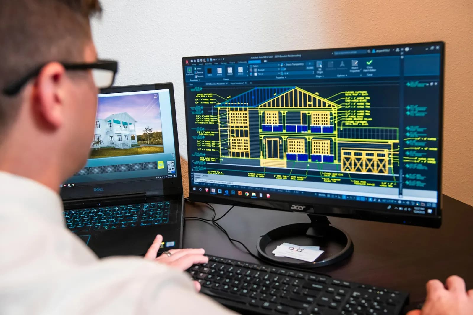
Autodesk Civil 3D for Surveying & Infrastructure
From the field point to a complete deliverable sheet — the real workflow our engineers run on live projects every day.
A hands-on, intensive program that walks you step by step through the full Civil 3D workflow as executed in a working survey office: importing field points, building surfaces, designing alignments and profiles, corridors, and quantity takeoff through to plotted sheets. Every module ends with an exercise on real project data.
By the numbers
- 7
- Training modules
- 27
- Hands-on topics
- 2
- Software covered
- 2
- Training languages (ar/en)
What you’ll learn
- Set up a clean Civil 3D project: templates, Egyptian coordinate systems, and drawing settings
- Import and manage field survey points with point groups and description keys
- Build accurate TIN surfaces with breaklines, analyze them, and compute volumes between surfaces
- Design horizontal alignments and profiles with correct labeling and annotation
- Build complete corridors from assemblies and extract design surfaces from them
- Produce cross-sections, quantity tables, and final sheets ready for delivery
The syllabus, module by module
Module 1 — Workspace setup & Egyptian coordinate systems
- The Civil 3D interface and the key difference from AutoCAD: smart objects and styles
- Templates and building a consistent office deliverable standard
- Coordinate-system setup: Egypt 1907 belts (Red/Blue/Purple), UTM, and WGS84
- Units, scales, layers, and text-style settings
Module 2 — Survey points
- Importing point files from total stations and GNSS receivers in their common formats
- Point groups and organizing thousands of points efficiently
- Description keys to draft field codes automatically
- Exercise: import a real field survey and prepare it for design
Module 3 — Surfaces & volumes
- Building a TIN surface from points, breaklines, and boundaries
- Surface editing and fixing common field-data errors
- Surface analysis: contours, slopes, aspect, and elevation banding
- Volumes between two surfaces and cut/fill reporting
Module 4 — Alignments & profiles
- Creating horizontal alignments with layout tools and from existing geometry
- Existing-ground surface profiles and design profiles
- In-software design criteria: speeds and minimum curves
- Labeling: stations, elevations, and curve data
Module 5 — Corridors & assemblies
- Building the typical section (assembly) from subassemblies: lanes, shoulders, daylight slopes
- Creating the corridor and tying it to alignment, profile, and surface
- Regions and handling intersections and approaches
- Extracting the corridor design surface for grade review and quantities
Module 6 — Grading & feature lines
- Feature lines and editing them by elevation and grade
- Grading groups for site leveling, ponds, and basins
- Balancing site earthworks and cut/fill reports
Module 7 — Quantities & final deliverables
- Sample lines and producing cross-section views
- Quantity-takeoff tables and material reports
- Sheet production: plan/profile sheets and plotting frames
- Capstone: from a raw point file to a complete delivery sheet package
Who this course is for
- Survey engineers and technicians moving from AutoCAD to a full Civil 3D workflow
- Road and infrastructure engineers who receive survey data and produce construction designs
- Civil and surveying graduates building an in-demand technical-office skill
- Firms and contractors standardizing their teams on consistent deliverable standards
Software covered
Prerequisites
- Working knowledge of AutoCAD basics (draw and modify)
- A surveying or civil background helps but is not required — concepts are covered as needed
- A laptop that runs Civil 3D (we point students to the free Autodesk education license)
Certificate
A GeoGiza certificate of completion, issued after the capstone project and signed by the lead instructor.
Course FAQs
Do I need prior Civil 3D experience?
No. We start from workspace setup and progress to corridors and quantities. AutoCAD basics are enough.
Is the training theoretical or hands-on?
Hands-on first: every module ends with an exercise on real survey data from our projects, and the course closes with a full capstone project.
Will I get a copy of the software?
We guide you to the free Autodesk education license (students/recent graduates) or the official trial — we do not distribute unlicensed copies.
How is this different from the road-design course?
This course teaches the tool (Civil 3D) across its disciplines; the road-design course teaches the engineering theory and standards. They complement each other — many trainees take both.
Register interest in this course
Leave your details and we will reach out with the next cohort’s dates and details.
Complete your training path
Geometric Road Design
The engineering behind every curve and grade: from design standards to review-ready plan/profile sheets.
Syllabus & detailsGNSS/GPS Data Correction & Post-Processing
Understand the error budget, pick the right technique, and deliver centimeter-grade coordinates backed by QC reports.
Syllabus & detailsOur guarantees to you
We take the risk off your project — so you can commit with confidence.
Accuracy guarantee
If a deliverable misses the agreed accuracy spec, we re-survey and correct it at no extra cost.
On-time commitment
We agree the delivery schedule up front and keep you updated at every stage until it's met.
Full confidentiality
Every engagement is covered by an NDA. Your data and drawings are never shared.
You own the files
You receive the editable source files (DWG, DXF and more) — full ownership, no lock-in.