Loading…
As-built documentation of completed structures
From our owned 90+ instrument fleet, we deploy the following on this service:

Survey instruments for precise angle and distance measurement — control networks, layout, and as-builts.

Terrestrial 3D laser scanning that captures dense point clouds for scan-to-BIM and as-builts.
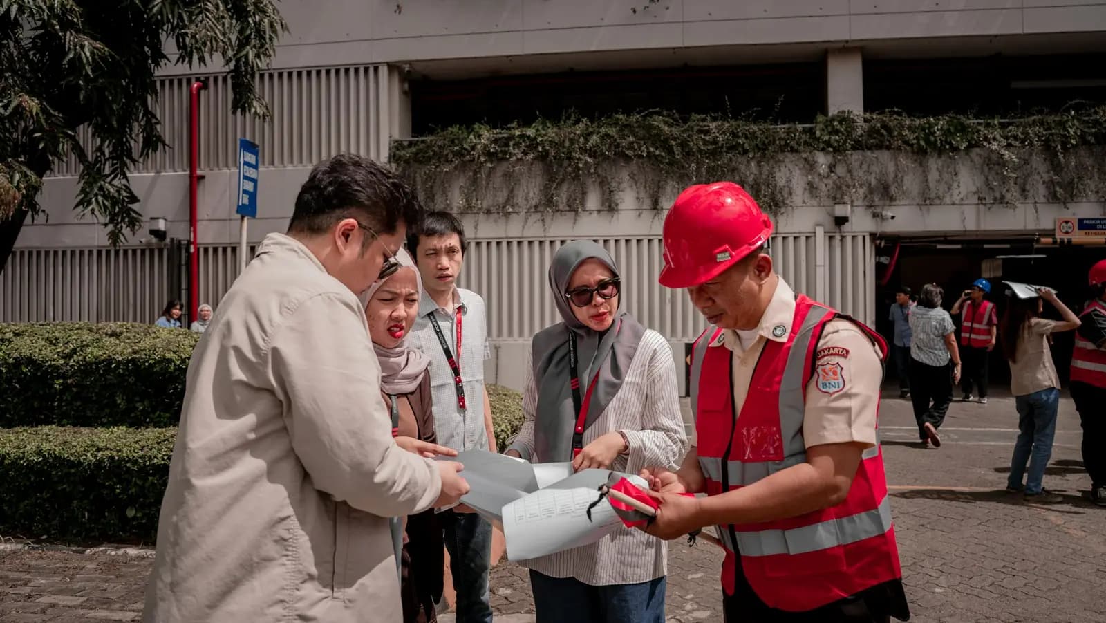
We own and operate our field fleet — our site shots carry the “From our field work” chip, alongside class-reference photos.
Shop Drawings are prepared before construction as an execution guide; As-Built drawings are prepared after construction to document what was actually built.
For large or complex projects we recommend adding Point Cloud Scanning for higher accuracy — a separately quoted service.
Real photographs from GeoGiza's field projects across Egypt and the region.
We take the risk off your project — so you can commit with confidence.
If a deliverable misses the agreed accuracy spec, we re-survey and correct it at no extra cost.
We agree the delivery schedule up front and keep you updated at every stage until it's met.
Every engagement is covered by an NDA. Your data and drawings are never shared.
You receive the editable source files (DWG, DXF and more) — full ownership, no lock-in.