Land, drone & hydrographic surveying — total stations, GNSS, drones, multibeam.
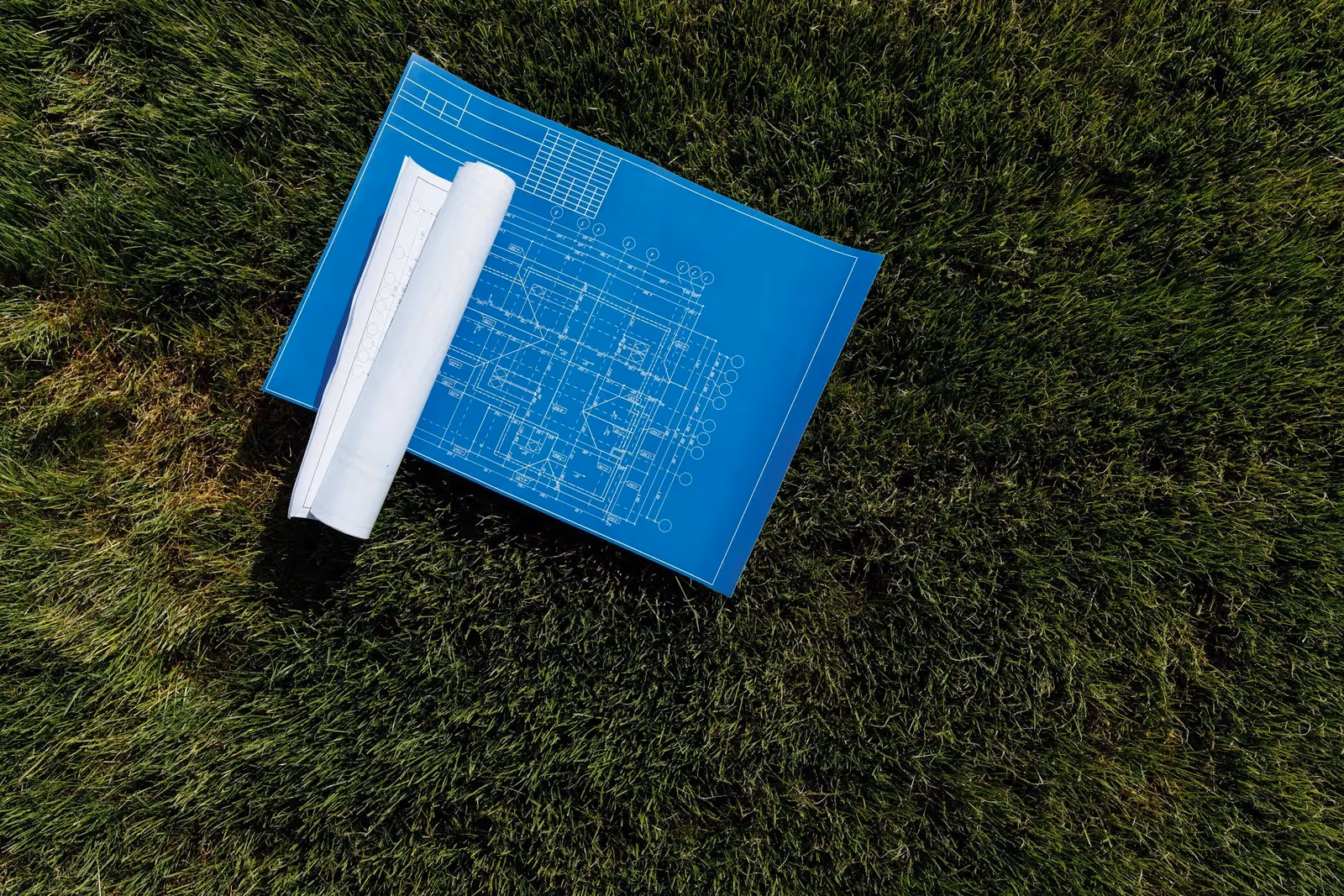
Shop drawings, point clouds, GIS mapping & BIM — production-grade deliverables.
Geospatial software built by surveyors — GIS dashboards, field apps, drone pipelines.
Explore
3000+projects delivered with a 90+ instrument fleet
All articles tagged “farmland”.
2 posts
A practical guide for heirs across the Badrashin, El Ayat, and Abu El-Nomros villages: which documents precede a partition, how consensual division compares with going to court, and how a surveyor translates legal shares into staked, documented plots for each heir.
A practical guide for farmland owners south of Giza: how a boundary survey works on the ground, why reality drifts from the paper record, and how we match your plot against the Egyptian Survey Authority's maps before any sale, partition, or build.