Why your boundaries on the ground differ from the paper
In the villages south of Giza — Badrashin, El Ayat, and Abu El-Nomros — farmland changes hands between generations faster than the records can follow. A grandfather passes away and the children split the land informally with no documented partition; a neighbour rebuilds his fence leaning on an old memory; buildings creep over the farm belt and the iron boundary markers vanish under fill and roads. Twenty years later the owner stands on his land unable to say precisely where it begins and ends — the paper in his hand states one number, the ground another.
The fact we repeat to every owner: your legal boundary is not the fence, nor the plough line everyone is used to — it is what the record tied to the Egyptian Survey Authority's reference establishes. The fence may encroach, or concede land without anyone intending it; the Authority's map and the official survey points are the reference by which transactions and disputes are settled. A boundary survey is the bridge between the two: we project the record's boundaries back onto the ground with precise instruments, and any gap shows immediately.
What exactly gets compared in "matching against the Survey Authority's maps"?
A proper match sets three sources side by side. First, the ownership document: a registered deed, an inheritance declaration, or a partition ruling, with the area, boundaries, and neighbours it names. Second, the Egyptian Survey Authority's map: the official survey sheet for the basin and plot, tied to the national control network. Third, the field reality: the fences, farm boundaries, and markers actually standing.
When the three agree, your land is in the strongest legal position possible. When they differ — common with inherited land — we document the difference precisely: surplus or deficit in area, overlap with an adjoining plot, or a boundary standing off its recorded position. That documentation is what your lawyer, the real-estate registry, or a dispute committee needs, and it is what protects you before paying for land or building on an unverified line. International surveying practice (FIG) rests on the same principle: a measurement is only defensible when it is traceable to the national reference frame.
The field experience behind this guide
- 1,000+
- survey projects delivered
- across cadastral and infrastructure work
- 800,000+
- feddans levelled
- deep farmland experience
- 2,500+
- clients served
- owners, heirs, and developers
How we run a boundary survey and map match
- 1
Gather the documents: the ownership deed or inheritance declaration plus any prior survey paper — reviewed at the desk before mobilizing.
- 2
Pull the map record: locate the basin and plot on the Egyptian Survey Authority's map and shortlist the nearby official survey points usable for control.
- 3
Field survey: observe the plot and its standing boundaries with precise GNSS tied to the official control points — never a floating local grid.
- 4
Match: compare document versus map versus ground, compute any area difference or boundary offset, and document it in numbers.
- 5
Re-stake: monument the correct corners on the ground with durable marks the owner and neighbours can find again.
- 6
Deliver: a survey drawing signed by a licensed syndicate engineer, fit for submission to the Survey Authority and the real-estate registry, with any unresolved conflict flagged honestly.
Cases we see every week across the three markazes
In Badrashin, our work clusters around the land ringing the archaeological zones — Mit Rahina, Saqqara, and Dahshur — where the antiquities buffer meets the farm belt and fixing a boundary precisely matters before any transaction. In El Ayat, the dominant case is inherited-split drift: land divided informally among heirs decades ago that now needs formal partition, or a share being sold — neither is safe before the boundaries are fixed. In Abu El-Nomros — the markaz closest to the Giza urban mass — the story is buildings creeping over farmland: an owner wanting his line proven before the neighbour builds, or a buyer verifying that the plot on offer is the one described in the deed.
The common denominator never changes: every pound paid for land with unverified boundaries is a gamble, and every neighbour dispute starts small and grows with the first wall. An early survey with precise instruments costs far less than years of litigation.
Which service do you actually need?
| Your situation | The right service | What you receive |
|---|---|---|
| I don't know my boundaries on the ground | Boundary-marker recovery survey | Corners staked on the ground + a drawing of the actual boundaries |
| I want my deed checked against the Authority's map | Records & conformity certificate | A documented match of deed vs. map vs. ground |
| I need a document for the registry or official bodies | Certified & stamped survey drawing | An engineer-signed drawing the authorities accept |
| We inherited land and want to divide it | Inheritance land division | A partition plan by legal shares with a drawing per share |
The services chain together: many transactions start with a boundary survey and end with a certified drawing or a partition plan.
Why we tie every survey to the official control points
A boundary that does not live in the Egyptian Survey Authority's reference will not survive a transaction or a dispute. Surveying on a convenient local grid produces numbers that look precise but cannot be matched to the official sheet or the neighbouring plots. Everything we survey across the Badrashin, El Ayat, and Abu El-Nomros villages is tied to the official control points, so the result stands up before the Authority, the registry, and — if it comes to it — the court.
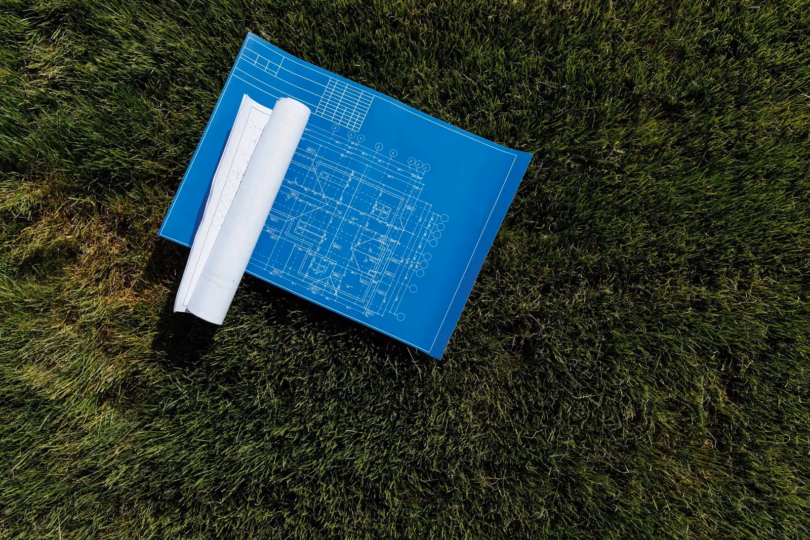
Surveying a farmland boundary

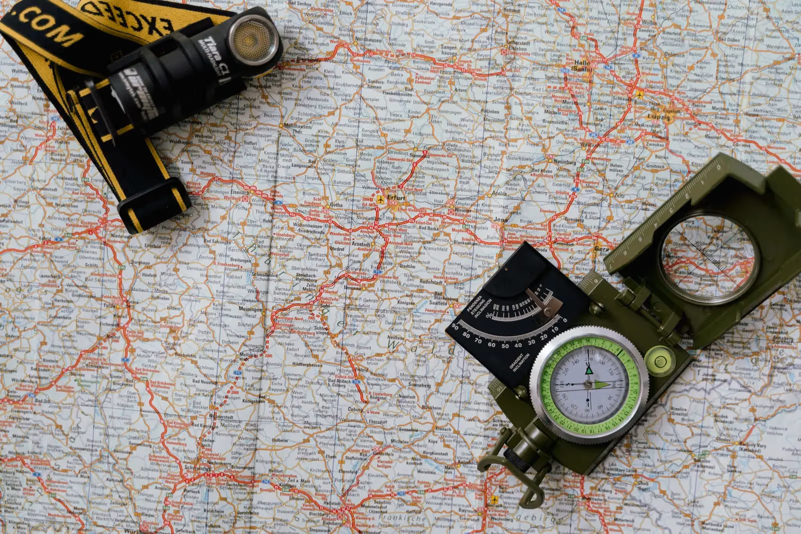
The instruments we survey with
 From our field work
Total stations
Precision angle and distance measurement for control networks, layout, and as-builts.
such as Leica TS16, Viva TS, Topcon ES-series
 From our field work
GNSS / RTK receivers
Centimeter-accurate satellite positioning (RTK) for control, topographic, and cadastral work.
such as Trimble R10/R8, Topcon Hiper V, Leica GS18
GNSS brings the national reference down to your plot; total stations fix the corners near fences and buildings where satellite signal weakens.
Start from your village
References
- Egyptian Survey Authority — national reference for mapping, cadastre, and control — Egyptian Survey Authority (ESA)
- Real Estate Publicity & Notarization Department — property registration (Real Estate Publicity Law 114/1946 and Real Property Registry Law 142/1964) — Egyptian Ministry of Justice
- International Federation of Surveyors publications on professional and cadastral standards — International Federation of Surveyors (FIG)