The informal split is a time bomb
The scene repeats across the Badrashin, El Ayat, and Abu El-Nomros villages: a father passes away leaving a few feddans and several heirs, who split the land verbally — "you take from the bridge to the palm tree, your brother from the palm to the canal" — and each farms his share peacefully for years. Then something changes: an heir wants to sell, a grandson wants to build, or an outside buyer enters the picture. Suddenly everyone discovers the palm tree is long gone, the areas actually farmed don't match the legal shares, and nobody holds a document proving the boundaries of his portion.
An undocumented split works for one generation and detonates in the next, when the heirs multiply and the shares tangle through marriage and partial sales. An early, documented partition is cheaper and kinder than any later dispute — not generic legal advice, but the distilled pattern of what we see in these markazes' farm belts every week.
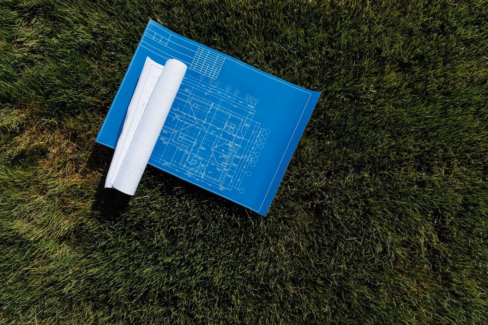
Paper first: the declaration and the share count
Before a surveyor touches your land, two documents are essential. First, the inheritance declaration — the official document fixing who the legal heirs are and each one's share. Second, the deceased's ownership document — a registered deed or tenure papers proving the land was theirs to begin with. Alongside them, any old survey paper for the plot helps, since it shortcuts the search through the Egyptian Survey Authority's records.
From these documents the technical work starts: a field survey measuring the plot's actual total area tied to the official survey points — often different from the paper area thanks to roads, canals, and decades of boundary drift — then computing each heir's share from the actual, not nominal, area. The gap between the two is behind many battles that this single step would have prevented.
Consensual partition versus court partition
| Criterion | Consensual partition | Court partition lawsuit |
|---|---|---|
| Core requirement | Unanimous agreement of all heirs | One heir's initiative suffices when there is conflict |
| Typical duration | Weeks — depending on document readiness | Can stretch into years of hearings and expert reports |
| Cost | Survey and notarization fees only | Case fees, lawyers, and court-appointed expertise |
| Role of survey work | A partition plan by a licensed surveyor, signed by the heirs | The court appoints a survey expert — the technical work is needed either way |
Either route runs on precise survey work — the difference is whether the decision stays in the heirs' hands or drifts into procedure.
How we partition inherited land, step by step
- 1
Review the documents: the inheritance declaration, the ownership document, and any old survey papers — from these we fix the heirs, the shares, and the plot.
- 2
Field survey: measure the plot's actual total area and standing boundaries with GNSS tied to the official survey points.
- 3
Compute the shares: translate the legal shares from the declaration into actual square-metre areas per heir.
- 4
Draft the partition plan: distribute parcels by fairness of value — road and canal frontages, regular shapes — and present it to the heirs for discussion and adjustment.
- 5
Stake on the ground: after everyone approves, monument each share's corners with durable marks.
- 6
Deliver: a certified survey drawing per heir with the share's boundaries and coordinates, fit for notarization, registration, or future building.
Experience your partition can lean on
- 800,000+
- feddans levelled
- deep farm-belt experience
- 1,000+
- survey projects delivered
- from single plots to whole basins
- 2,500+
- clients served
- heirs, owners, and developers
Fairness is more than equal area
The hardest part of dividing farmland is not arithmetic but equivalence. A feddan fronting a paved road is not worth a landlocked feddan mid-field reachable only across other people's land. The parcel beside the irrigation canal outvalues the distant one, and a regular shape farms and sells better than a long thin strip. A good partition plan balances these advantages: road frontages alternate, rights of way are drawn explicitly for the interior parcels, and a quality gap is compensated with an area difference when the heirs accept it.
Across the Badrashin, El Ayat, and Abu El-Nomros villages we present the plan to all heirs before staking a single corner, and adjust it until everyone signs — a partition imposed by force returns as a dispute through the back door.
Why a certified drawing per heir?
Your partitioned share is not complete without a document proving it: a survey drawing signed by a licensed syndicate engineer, with the parcel's boundaries and coordinates tied to the Egyptian Survey Authority's points. That drawing is what the real-estate registry asks for when notarizing the partition or registering the share, and what protects your boundaries before neighbours and the next generation. A partition without certified drawings is a verbal split with a delayed fuse.
Staking the shares on the ground

The instruments we partition with
 From our field work
Total stations
Precision angle and distance measurement for control networks, layout, and as-builts.
such as Leica TS16, Viva TS, Topcon ES-series
 From our field work
GNSS / RTK receivers
Centimeter-accurate satellite positioning (RTK) for control, topographic, and cadastral work.
such as Trimble R10/R8, Topcon Hiper V, Leica GS18
Total area and share boundaries surveyed on the national reference — so your share doesn't change with whoever measures it next.
Next step
References
- Real Estate Publicity & Notarization Department — property registration (Real Estate Publicity Law 114/1946 and Real Property Registry Law 142/1964) — Egyptian Ministry of Justice
- Egyptian Survey Authority — national reference for mapping, cadastre, and control — Egyptian Survey Authority (ESA)
- International Federation of Surveyors publications on professional and cadastral standards — International Federation of Surveyors (FIG)