


Survey Records & Conformity Certificate
We obtain the records certificate and reconcile your land’s data (basin, parcel number, area, boundaries) against the Egyptian Survey Authority’s records, documenting any difference or conflict in a clear report.
- Turnaround
- 7–15 working days
- Deliverables
- 3
- Coverage
- 11 cities
By the numbers
- Official
- Records certificate
- 7–15 days
- Turnaround
- Reconciled
- Doc × record × ground
The problem we solve
Buying or registering without verifying the land’s records and their conformity is a real risk. We obtain the records certificate and reconcile the data with the Survey Authority’s records before any step.
Who needs this service
Buyers, owners, and lawyers who want to verify the official records and the land’s conformity before contracting.
When you need this service
- To verify the land’s official records before buying
- When you need to prove the land matches the records
- To resolve a conflict in the basin, parcel number, or area
- As a supporting document in registration or dispute procedures
How we execute
- 1
Collect the land data from the documents
- 2
Obtain the official records from the survey registry
- 3
Reconcile document against record and field reality
- 4
Issue the certificate and the conformity report
What we need from you
- Copy of the ownership document
- Owner national ID number
- Land data: village, basin, and parcel number
What you receive
- Official records certificate for the land data
- Conformity report across document, records, and ground
- Clarification of any difference or conflict and how to resolve it
Equipment & methodology
We equip this service from our owned fleet of 90 instruments:

Total stations
Survey instruments for precise angle and distance measurement — control networks, layout, and as-builts.
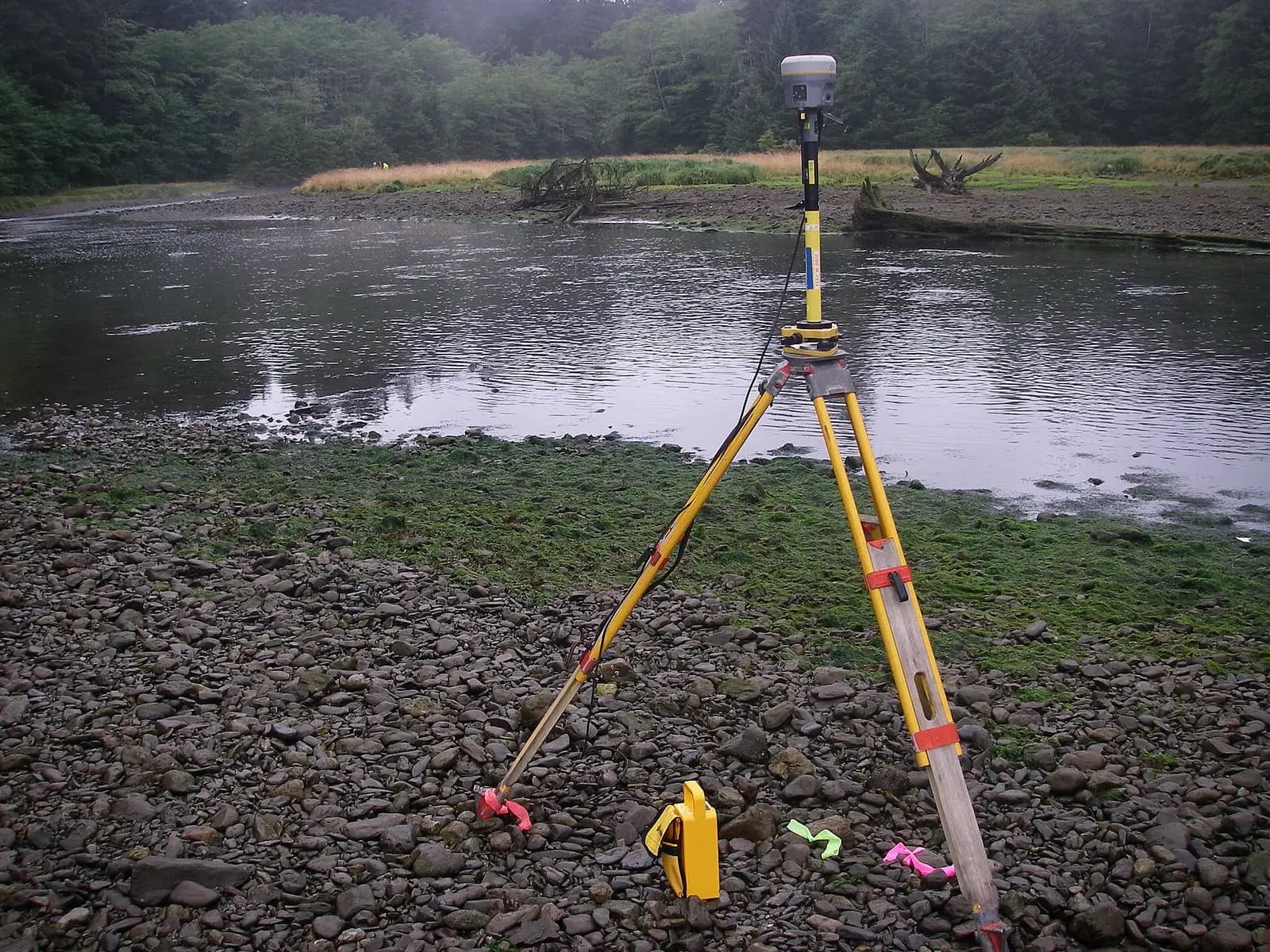
GPS / GNSS / RTK receivers
Survey-grade GPS receivers for centimeter-accurate satellite positioning (RTK) — control, topographic, and cadastral work.
We own and operate our field fleet — our site shots carry the “From our field work” chip, alongside class-reference photos.
Available in
Frequently asked
What’s the difference between the records certificate and conformity?+
The records certificate states the land’s data in the official registry; conformity compares that data against the document and the field reality and flags any difference.
Does the service include matching my land against the Egyptian Survey Authority’s maps?+
Yes — we match your ownership document and the basin/plot records against the Egyptian Survey Authority’s map and the field reality surveyed with our instruments, and hand you a report flagging any area or boundary difference before any transaction or registration.
How much do the records certificate and conformity report cost?+
It depends on scope: the number of parcels and basins to query, how accessible the records are, and whether conformity needs a field boundary survey or only a document-to-records comparison. We fix the cost in a written quote after reviewing your documents.
What if a difference appears between my document and the records?+
We document the difference precisely in the conformity report — its type (area, boundary, parcel number, basin), its size, and its impact — and recommend the available remedies, such as correcting the record or a fresh field determination, so you decide on clear grounds before any contract.
Our crews on real projects
Real photographs from GeoGiza's field projects across Egypt and the region.
Browse by capability, sector, or instrument
Our guarantees to you
We take the risk off your project — so you can commit with confidence.
Accuracy guarantee
If a deliverable misses the agreed accuracy spec, we re-survey and correct it at no extra cost.
On-time commitment
We agree the delivery schedule up front and keep you updated at every stage until it's met.
Full confidentiality
Every engagement is covered by an NDA. Your data and drawings are never shared.
You own the files
You receive the editable source files (DWG, DXF and more) — full ownership, no lock-in.