Loading…
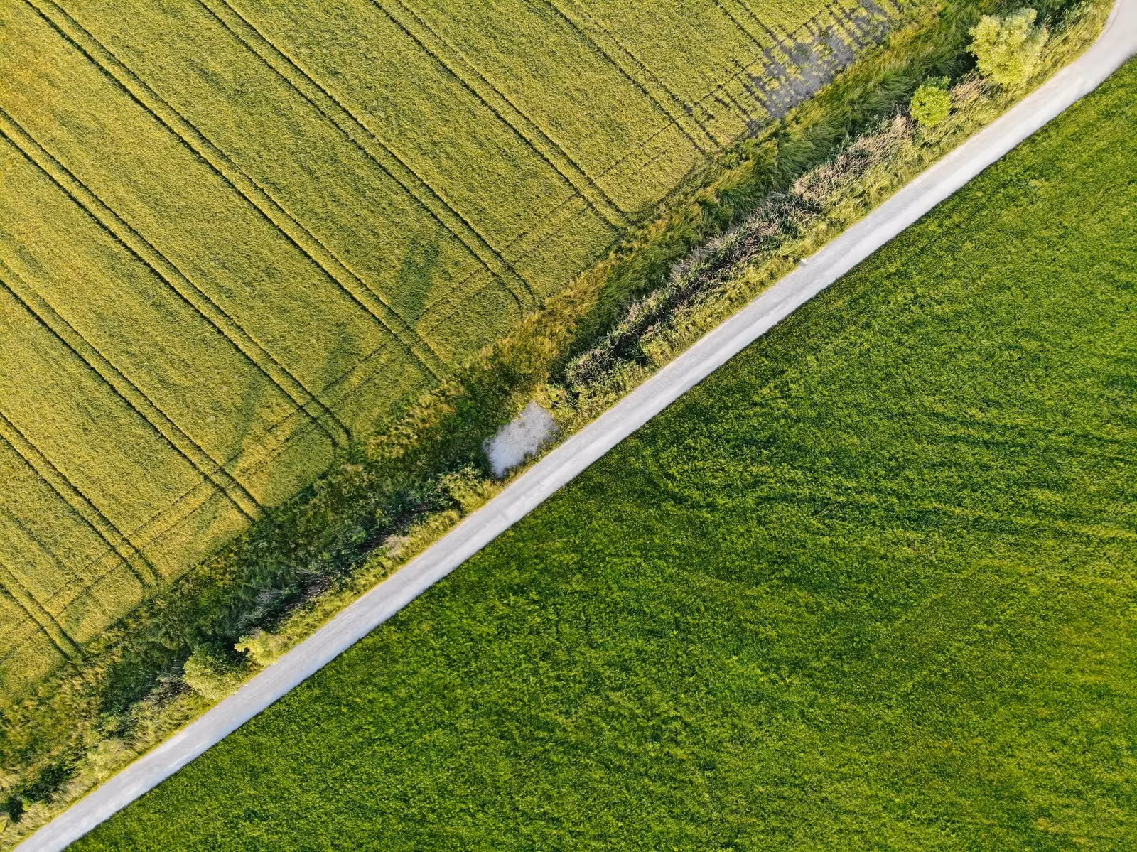
We draw and issue certified, stamped survey maps that match the ground and are tied to the Egyptian Survey Authority’s network — accepted by official bodies and the real-estate registry.
Transactions get rejected over old, unstamped, or non-matching maps. We prepare a certified, stamped map that matches the ground and is tied to the Survey Authority’s network, accepted by official bodies.
Landowners, developers, and lawyers who need a certified official map for submission or registration.
Precise field survey of boundaries and features
Tie-in to the official reference network
Draw the map and compute areas and dimensions
Certification, stamping, and signature by a licensed engineer
From our owned 90+ instrument fleet, we deploy the following on this service:

Survey instruments for precise angle and distance measurement — control networks, layout, and as-builts.

Survey-grade GPS receivers for centimeter-accurate satellite positioning (RTK) — control, topographic, and cadastral work.
We own and operate our field fleet — our site shots carry the “From our field work” chip, alongside class-reference photos.
Yes — the map is prepared with the required stamps and approvals and a licensed engineer’s signature, tied to the Survey Authority’s network.
Real photographs from GeoGiza's field projects across Egypt and the region.
We take the risk off your project — so you can commit with confidence.
If a deliverable misses the agreed accuracy spec, we re-survey and correct it at no extra cost.
We agree the delivery schedule up front and keep you updated at every stage until it's met.
Every engagement is covered by an NDA. Your data and drawings are never shared.
You receive the editable source files (DWG, DXF and more) — full ownership, no lock-in.