

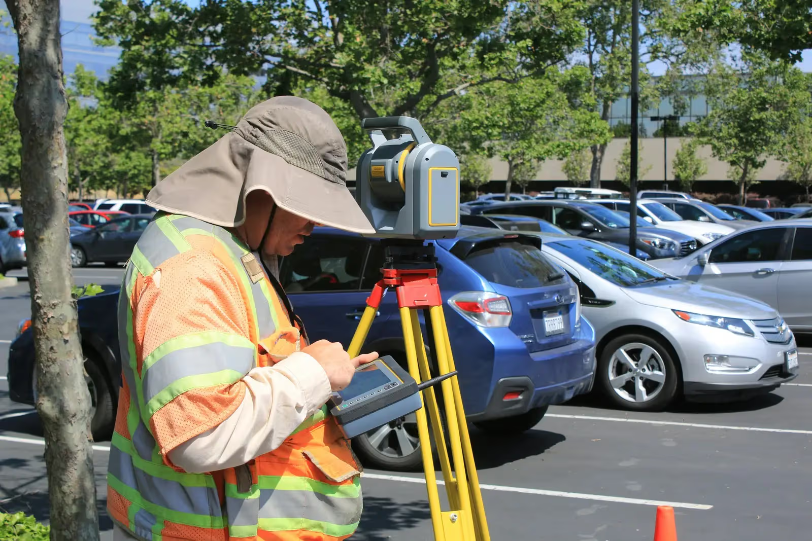
Digital Cadastral Survey for the Registry
We survey your property with Total Station and GPS, tie its boundaries to the official network, and produce a digital survey statement and map ready for registry transactions via the technological centers under Real-Estate Registration Law 9 of 2022.
- Turnaround
- 3–10 working days
- Deliverables
- 3
- Coverage
- 11 cities
By the numbers
- Digital
- Coordinate statement
- 3–10 days
- Turnaround
- WGS84
- Coordinate datum
The problem we solve
Registration stalls over incomplete, non-digital, or mismatched survey data. We produce an accurate digital survey and coordinate statement that matches the ground and meets registry and technological-center requirements.
Who needs this service
Property and land owners, developers, and lawyers registering a property or reconciling boundaries under Law 9 of 2022.
When you need this service
- When registering a property or land at the registry
- To obtain a digital survey statement/map required for registration
- To reconcile boundaries on the ground before contracting
- Before a sale, purchase, or property financing
How we execute
- 1
Review documents and determine registration requirements
- 2
Field survey with Total Station and GPS
- 3
Tie-in to the official network and coordinate computation
- 4
Produce and certify the digital survey statement and map
What we need from you
- Copy of the ownership document or contract
- Owner national ID number
- The property location and actual boundaries
What you receive
- Digital survey statement with coordinates (WGS84)
- Certified survey map/sketch signed by a licensed engineer
- Files ready for the technological-center transaction
Equipment & methodology
We equip this service from our owned fleet of 90 instruments:

Total stations
Survey instruments for precise angle and distance measurement — control networks, layout, and as-builts.
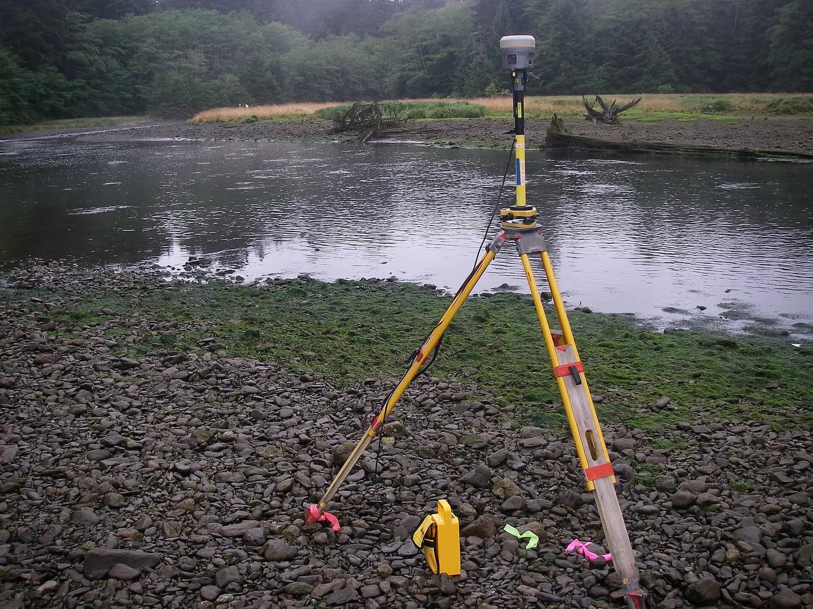
GPS / GNSS / RTK receivers
Survey-grade GPS receivers for centimeter-accurate satellite positioning (RTK) — control, topographic, and cadastral work.
We own and operate our field fleet — our site shots carry the “From our field work” chip, alongside class-reference photos.
Available in
Frequently asked
What is a digital survey statement and why does the registry require it?+
It is a digital description of the property boundaries with precise coordinates tied to the official network, now required to complete registration via the technological centers under Law 9 of 2022.
Do you tie boundaries to the Egyptian Survey Authority network?+
Yes — we tie the survey to the official reference network and issue the statement and map with a licensed engineer’s certification so the transaction is accepted.
How much does the digital registry survey cost?+
It depends on scope: property area, boundary geometry (regular or irregular), the number of points to capture, and the certification level the transaction requires. We send a written quote after reviewing the documents and site — the quote commits you to nothing.
What is the difference between the survey statement and the survey map?+
The statement is a precise coordinate table for boundary points tied to the official network (WGS84); the map is a certified sketch showing the property’s shape, dimensions, and area. Technological-center transactions require both, and we deliver them ready to upload.
Our crews on real projects
Real photographs from GeoGiza's field projects across Egypt and the region.
Browse by capability, sector, or instrument
Our guarantees to you
We take the risk off your project — so you can commit with confidence.
Accuracy guarantee
If a deliverable misses the agreed accuracy spec, we re-survey and correct it at no extra cost.
On-time commitment
We agree the delivery schedule up front and keep you updated at every stage until it's met.
Full confidentiality
Every engagement is covered by an NDA. Your data and drawings are never shared.
You own the files
You receive the editable source files (DWG, DXF and more) — full ownership, no lock-in.