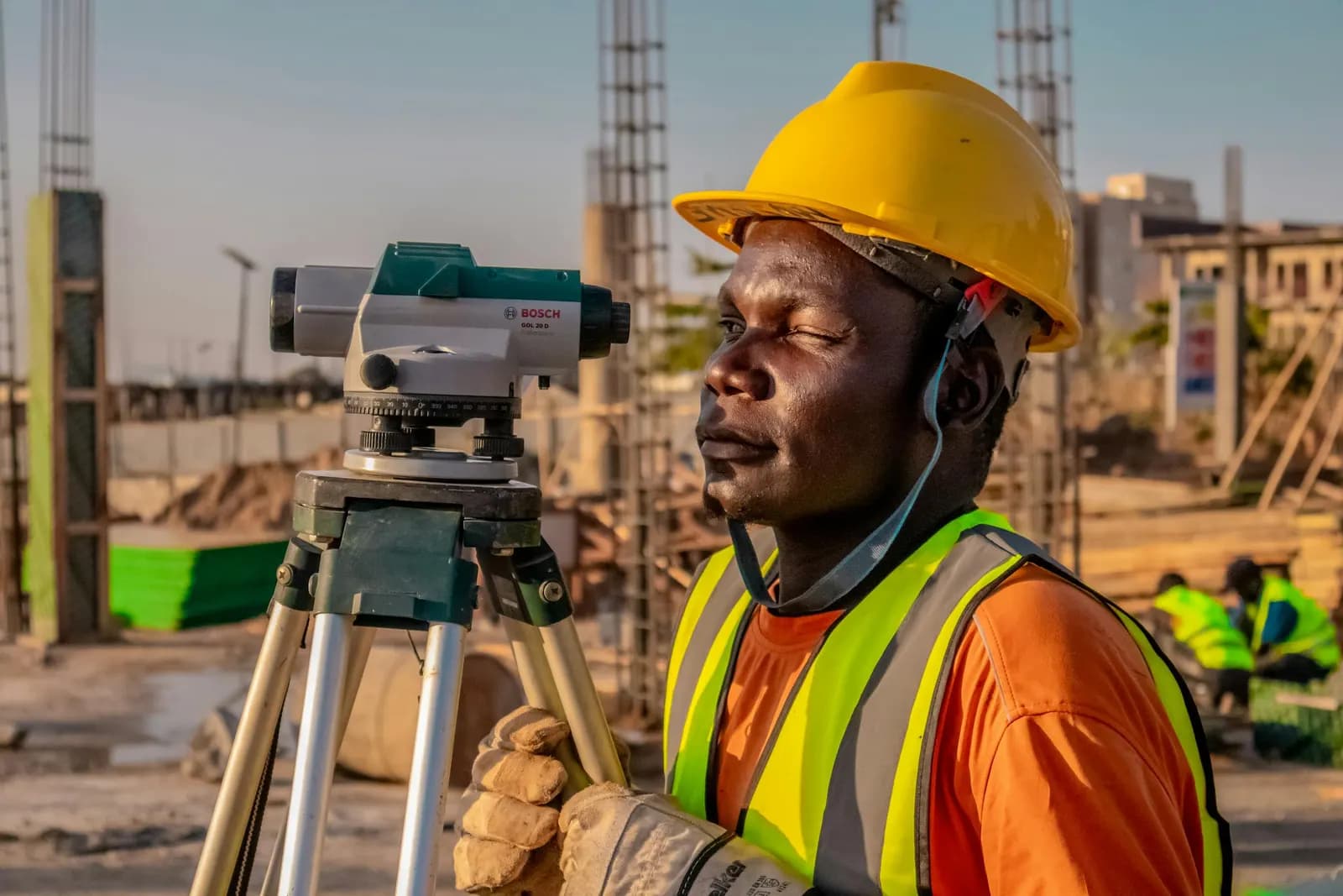
Land, drone & hydrographic surveying — total stations, GNSS, drones, multibeam.
Shop drawings, point clouds, GIS mapping & BIM — production-grade deliverables.
Geospatial software built by surveyors — GIS dashboards, field apps, drone pipelines.
Explore
3000+projects delivered with a 90+ instrument fleet
Insights, news, and updates from the Giza team.
5 posts
What actually happens between a bare site and a contoured DWG. We walk a topographic survey the way our crews run it — control first, then GNSS-RTK and total-station capture, then processing into a contour map and CAD deliverable.
A practitioner’s guide to how survey accuracy is defined and proven — ISO 17123 instrument tests, ASPRS positional classes, FIG practice, and why a single “±2 cm” number on a quote tells you almost nothing without its confidence level, datum, and check-point evidence.
Across more than 3000 km of roads, our crews have learned that a highway lives or dies on its control corridor. Here is how we set control, stake an alignment, and measure earthworks so the design that leaves the office is the road that gets built.
RTK gives you a fixed solution in seconds, but a green 'fixed' light does not mean the point is good. Here is where the millimetres leak — multipath, PDOP, baseline length, the atmosphere — and the field habits our crews use to hold tolerance.
A GNSS receiver hands you an ellipsoidal height — a number that means nothing to a drainage engineer. Here is how our crews turn that into a real orthometric height surveyors and water actually agree on, and why the geoid model and a benchmark tie sit between the two.