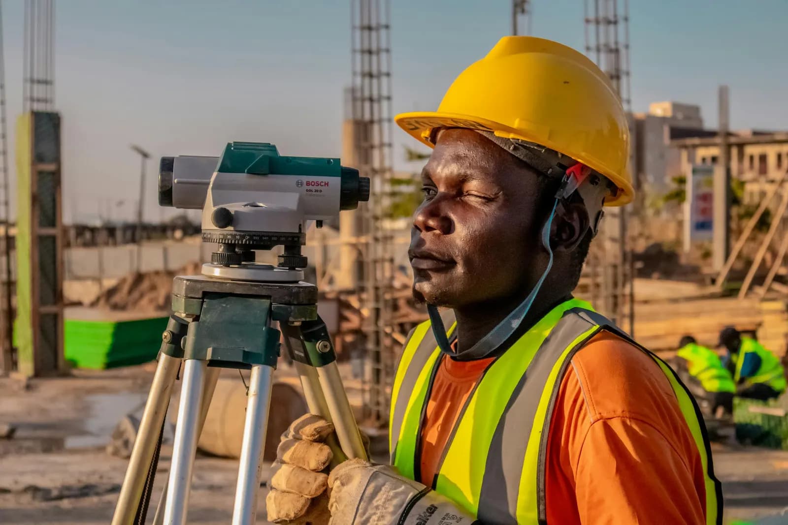
Land, drone & hydrographic surveying — total stations, GNSS, drones, multibeam.
Shop drawings, point clouds, GIS mapping & BIM — production-grade deliverables.
Geospatial software built by surveyors — GIS dashboards, field apps, drone pipelines.
Explore
3000+projects delivered with a 90+ instrument fleet
Insights, news, and updates from the Giza team.
3 posts
A plain-language hub to the terms you keep hearing on a project — topographic survey, point cloud, orthomosaic, LiDAR, GIS, GNSS, geoid, datum, BIM — explained the way our field crews actually use them, and wired together so you can see how one feeds the next.
GPS is no longer the only game in the sky. With GPS III, Galileo, BeiDou and GLONASS all overhead, our receivers now track 30+ satellites at once. Here is what that actually changes on the job — from canyon-tight cadastral lots in Cairo to open desert alignments.
From hundreds of road, rail, and cadastral jobs across Egypt, here is how our crews choose between a single base-and-rover setup and an NTRIP/CORS network RTK connection — by coverage, accuracy, setup time, and real cost on the ground.