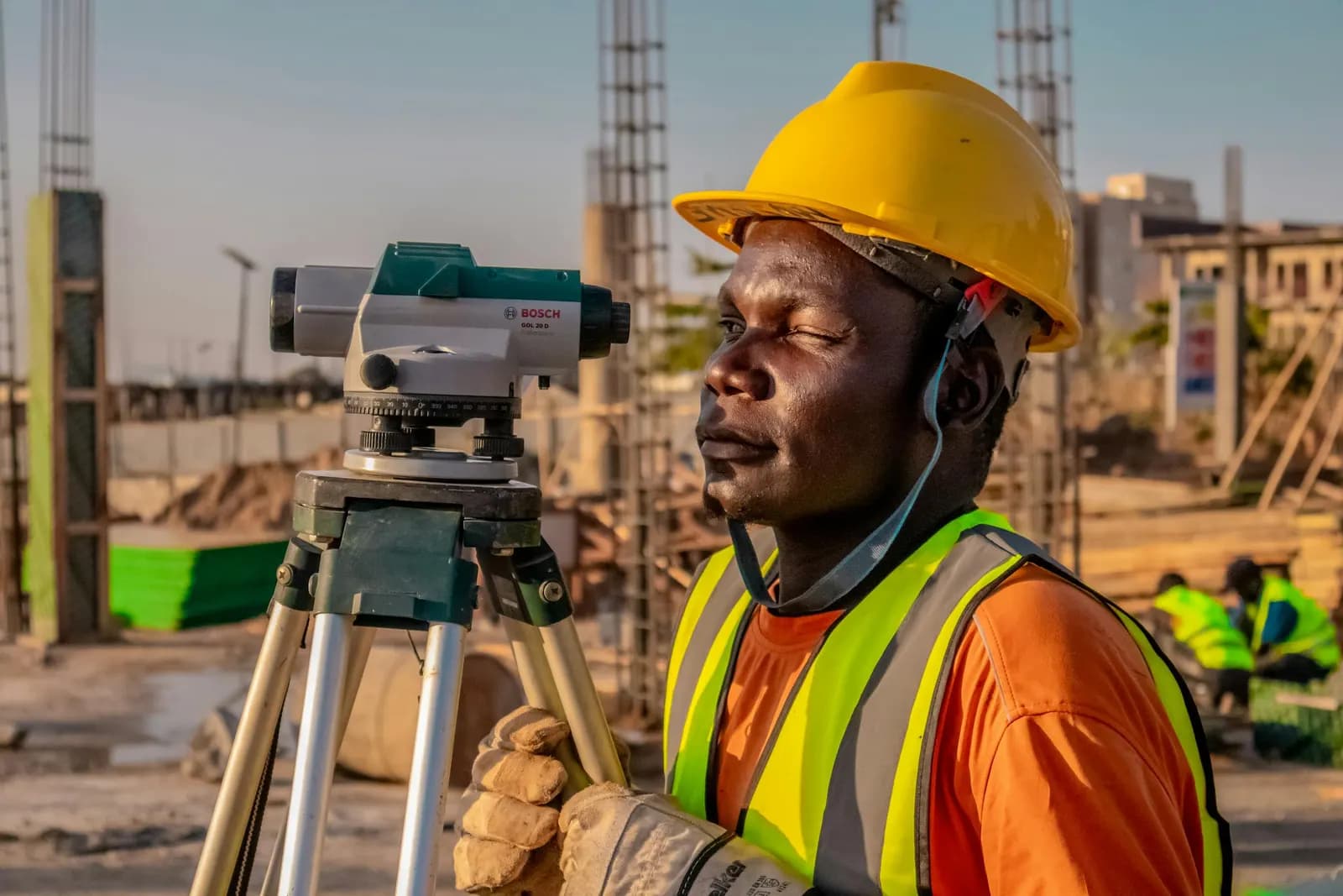
Land, drone & hydrographic surveying — total stations, GNSS, drones, multibeam.
Shop drawings, point clouds, GIS mapping & BIM — production-grade deliverables.
Geospatial software built by surveyors — GIS dashboards, field apps, drone pipelines.
Explore
3000+projects delivered with a 90+ instrument fleet
Insights, news, and updates from the Giza team.
18 posts
How our field teams take a coordinate list from the design model and stake it on a live site so concrete, steel, and services land where the drawings say — with a control network, a checked occupation, and an independent verification on every point.
How our field crews turn an as-built facility into a coordinated, openBIM model — the scan plan, the registration discipline, and what LOD you can honestly expect from a point cloud.
Across more than 3000 km of roads, our crews have learned that a highway lives or dies on its control corridor. Here is how we set control, stake an alignment, and measure earthworks so the design that leaves the office is the road that gets built.
An honest quantity is a settled invoice. Here is how our crews turn a survey into cut-and-fill numbers — surface against surface, drone against ground — and the traps that quietly inflate a volume.
RTK gives you a fixed solution in seconds, but a green 'fixed' light does not mean the point is good. Here is where the millimetres leak — multipath, PDOP, baseline length, the atmosphere — and the field habits our crews use to hold tolerance.
GPS is no longer the only game in the sky. With GPS III, Galileo, BeiDou and GLONASS all overhead, our receivers now track 30+ satellites at once. Here is what that actually changes on the job — from canyon-tight cadastral lots in Cairo to open desert alignments.
From hundreds of road, rail, and cadastral jobs across Egypt, here is how our crews choose between a single base-and-rover setup and an NTRIP/CORS network RTK connection — by coverage, accuracy, setup time, and real cost on the ground.
A GNSS receiver hands you an ellipsoidal height — a number that means nothing to a drainage engineer. Here is how our crews turn that into a real orthometric height surveyors and water actually agree on, and why the geoid model and a benchmark tie sit between the two.
A UAV can fly a thousand acres in an afternoon, but the orthomosaic and DTM are only as good as the ground control under them. Here is the GCP-first workflow we run on our road and farmland projects, and what happens to accuracy when control is thin.